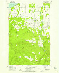
1956 Map of Carlsborg
USGS Topo · Published 1958About this map
The Dungeness River valley defines this mid-century landscape on the Olympic Peninsula, where the Chicago Milwaukee St Paul and Pacific railroad bisects a transition from coastal agriculture to timbered uplands. Near Carlsborg, a Sawmill and Log Pond point to the local timber economy, while the presence of the McCleay Sch (Aban'd) suggests the shifting footprints of rural education.
Find a feature on this map
73 named features on this map. Tap any name to fly to it.
Don’t see what you’re looking for? This feature index may not catch every label — zoom into the map to look around manually.
Map Details
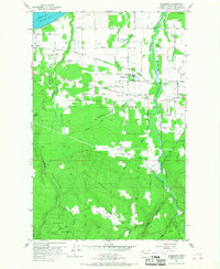
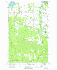
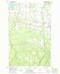
Editions of this 1956 Carlsborg Map
4 editions found
Other maps of this area

1918 · Port Angeles
USGS Topo · 1:62,500

1938 · Mt Constance
USGS Topo · 1:125,000

1938 · Dungeness
USGS Topo · 1:62,500

1939 · Dungeness
USGS Topo · 1:62,500

1941 · Port Angeles
USGS Topo · 1:62,500

1944 · Mt. Angeles
USGS Topo · 1:62,500

1946 · Mt. Angeles
USGS Topo · 1:62,500

1946 · Tyler Peak
USGS Topo · 1:62,500

1948 · Tyler Peak
USGS Topo · 1:62,500

1956 · Sequim
USGS Topo · 1:24,000