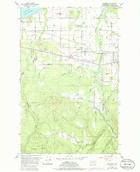
1956 Map of Carlsborg
USGS Topo · Published 1985About this map
Carlsborg and the fertile Dungeness Valley are defined here by a complex network of irrigation ditches and timber-industry infrastructure. The Chicago Milwaukee St Paul and Pacific railroad bisects the landscape, connecting the shoreline of the Strait of Juan de Fuca to the dense forests of the Olympic National Forest. To the south, the terrain rises sharply toward Lost Mountain, where the abandoned McDonald Railroad Grade marks earlier logging efforts. The map reveals a transition from the agricultural lowlands, supported by the Dungeness River and a Fish Hatchery, to the industrial presence of the Sawmill Log Pond. Local history is preserved in the locations of Finn Hall, the Dungeness Cem, and the McCleay Sch (Aband), reflecting the early twentieth-century social fabric of Clallam County.
Find a feature on this map
83 named features on this map. Tap any name to fly to it.
Don’t see what you’re looking for? This feature index may not catch every label — zoom into the map to look around manually.
Map Details
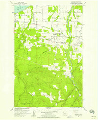
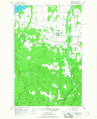
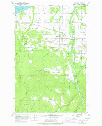
Editions of this 1956 Carlsborg Map
4 editions found
Other maps of this area

1918 · Port Angeles
USGS Topo · 1:62,500

1938 · Mt Constance
USGS Topo · 1:125,000

1938 · Dungeness
USGS Topo · 1:62,500

1939 · Dungeness
USGS Topo · 1:62,500

1941 · Port Angeles
USGS Topo · 1:62,500

1944 · Mt. Angeles
USGS Topo · 1:62,500

1946 · Mt. Angeles
USGS Topo · 1:62,500

1946 · Tyler Peak
USGS Topo · 1:62,500

1948 · Tyler Peak
USGS Topo · 1:62,500

1956 · Sequim
USGS Topo · 1:24,000