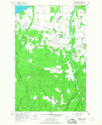
1956 Map of Carlsborg
USGS Topo · Published 1968About this map
The Dungeness Valley landscape in the mid-1950s is defined by a complex network of irrigation ditches and flumes supporting a fertile agricultural corridor between the Strait of Juan de Fuca and the rising slopes of the Olympic Peninsula. The settlement of Carlsborg serves as a small industrial hub, featuring a Sawmill and a Log Pond situated along the Chicago Milwaukee St Paul and Pacific Railroad. This rail line cuts across the terrain, linking rural communities like Agnew to the broader regional economy. South of the valley floor, the terrain shifts dramatically as the map climbs toward Lost Mountain and enters the Olympic National Forest. Family-named roads like Zwiekorst Road and Vogt Road segment the landscape into a grid of small farms and homesteads. The presence of the McCleay Sch (Aban'd) suggests the shifting demographics of rural Clallam County during this period of mid-century consolidation.
Find a feature on this map
78 named features on this map. Tap any name to fly to it.
Don’t see what you’re looking for? This feature index may not catch every label — zoom into the map to look around manually.
Map Details
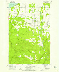
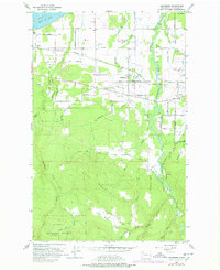
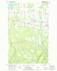
Editions of this 1956 Carlsborg Map
4 editions found
Other maps of this area

1918 · Port Angeles
USGS Topo · 1:62,500

1938 · Mt Constance
USGS Topo · 1:125,000

1938 · Dungeness
USGS Topo · 1:62,500

1939 · Dungeness
USGS Topo · 1:62,500

1941 · Port Angeles
USGS Topo · 1:62,500

1944 · Mt. Angeles
USGS Topo · 1:62,500

1946 · Mt. Angeles
USGS Topo · 1:62,500

1946 · Tyler Peak
USGS Topo · 1:62,500

1948 · Tyler Peak
USGS Topo · 1:62,500

1956 · Sequim
USGS Topo · 1:24,000