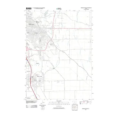
2010 Map of Sergeant Bluff
USGS Topo · Published 2010About this map
Sioux City and its southern suburbs occupy the western portion of this Woodbury County landscape, where the Missouri River valley meets the rolling uplands. The community of Morningside and the Regency of Sioux City highlight the eastward expansion of residential neighborhoods, while Sergeant Bluff anchors the southern end of the corridor. The region's history is preserved in its many memorial grounds, including Graceland Park Cemetery, Memorial Park Cemetery, and the Woodbury Township Cemetery.
Find a feature on this map
55 named features on this map. Tap any name to fly to it.
Don’t see what you’re looking for? This feature index may not catch every label — zoom into the map to look around manually.
Map Details
Editions of this 2010 Sergeant Bluff Map
This is the sole edition of this map. No revisions or reprints were ever made.
Other maps of this area

1955 · Sioux City
USGS Topo · 1:250,000

1958 · Sioux City
USGS Topo · 1:250,000

1959 · Sioux City
USGS Topo · 1:250,000

1962 · Union Center
USGS Topo · 1:62,500

1963 · Sioux City South
USGS Topo · 1:24,000

1963 · Sioux City North
USGS Topo · 1:24,000

1964 · Sergeant Bluff
USGS Topo · 1:24,000

1964 · James
USGS Topo · 1:24,000

1964 · Lawton
USGS Topo · 1:24,000

1964 · Luton
USGS Topo · 1:24,000