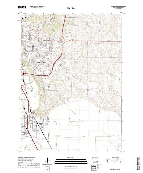
2022 Map of Sergeant Bluff
USGS Topo · Published 2022About this map
Sioux City and the expanding residential and educational centers to its south define the landscape in this contemporary study of Woodbury County. The map details the substantial footprint of Morningside College and Western Iowa Tech Community College, reflecting the area's role as a regional hub for higher education. South of the city, the community of Sergeant Bluff sits adjacent to the sprawling Sioux Gateway Airport/Brigadier General Bud Day Field, a critical infrastructure point for the Missouri River valley.
Find a feature on this map
40 named features on this map. Tap any name to fly to it.
Don’t see what you’re looking for? This feature index may not catch every label — zoom into the map to look around manually.
Map Details
Editions of this 2022 Sergeant Bluff Map
This is the sole edition of this map. No revisions or reprints were ever made.
Other maps of this area

1955 · Sioux City
USGS Topo · 1:250,000

1958 · Sioux City
USGS Topo · 1:250,000

1959 · Sioux City
USGS Topo · 1:250,000
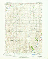
1962 · Union Center
USGS Topo · 1:62,500
1963 · Sioux City South
USGS Topo · 1:24,000
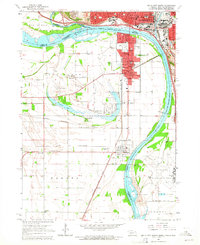
1963 · Sioux City North
USGS Topo · 1:24,000
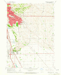
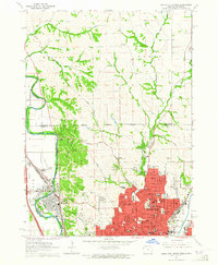
1964 · Sergeant Bluff
USGS Topo · 1:24,000
1964 · James
USGS Topo · 1:24,000
1964 · Lawton
USGS Topo · 1:24,000
1964 · Luton
USGS Topo · 1:24,000
Featured Places
- Sioux City, IA
- Sergeant Bluff, IA
- Woodbury Township, IA
- Glen Ellen, Woodbury Township
- Morningside, Sioux City