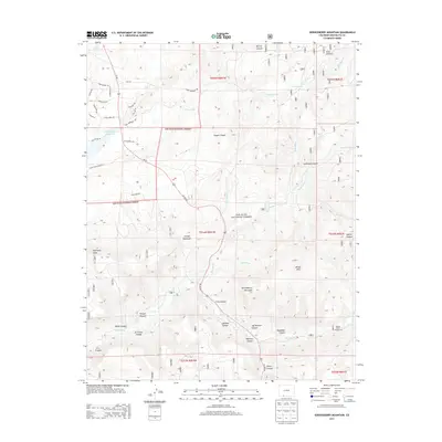
2013 Map of Serviceberry Mountain
USGS Topo · Published 2013About this map
San Juan National Forest encompasses a large portion of this Colorado landscape, where the Rio Blanco winds south through a series of dramatic geographic features. The terrain is defined by its deep drainage systems, including Archuleta Canyon, Flaugh Canyon, and Jeff Minium Canyon, which descend from higher elevations like Serviceberry Mountain and Turkey Mountain. Water management is central to the area's development, evidenced by the presence of the Echo Canyon Reservoir and the extensive Echo Ditch system used to divert water across the varying elevations.
Find a feature on this map
51 named features on this map. Tap any name to fly to it.
Don’t see what you’re looking for? This feature index may not catch every label — zoom into the map to look around manually.
Map Details
Editions of this 2013 Serviceberry Mountain Map
This is the sole edition of this map. No revisions or reprints were ever made.
Other maps of this area

1913 · Summitville
USGS Topo · 1:125,000

1915 · Summitville
USGS Topo · 1:125,000

1924 · Pagosa Springs
USGS Topo · 1:125,000

1927 · Pagosa Springs
USGS Topo · 1:125,000

1945 · Durango
USGS Topo · 1:250,000

1953 · Durango
USGS Topo · 1:250,000

1954 · Durango
USGS Topo · 1:250,000

1957 · Chromo
USGS Topo · 1:62,500

1957 · Wolf Creek Pass
USGS Topo · 1:62,500

1957 · Pagosa Junction
USGS Topo · 1:62,500