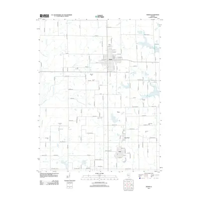
2012 Map of Sesser
USGS Topo · Published 2012About this map
Sesser anchors this 2012 landscape in Southern Illinois, characterized by a mix of coal mining history and modern water management. The legacy of resource extraction is evident at the Sesser Oil Field and the Valier Mine Pond, while the eastern edge of the map is defined by the expansive Rend Lake. This area is particularly rich for genealogical research, containing numerous burial grounds such as Maple Hill Cem, Bear Point Cem, and Mitchell Cem.
Find a feature on this map
133 named features on this map. Tap any name to fly to it.
Don’t see what you’re looking for? This feature index may not catch every label — zoom into the map to look around manually.
Map Details
Editions of this 2012 Sesser Map
This is the sole edition of this map. No revisions or reprints were ever made.
Other maps of this area

1909 · West Frankfort
USGS Topo · 1:62,500

1910 · Herrin
USGS Topo · 1:62,500

1926 · Duquoin
USGS Topo · 1:62,500

1936 · Herrin
USGS Topo · 1:62,500

1939 · Ina
USGS Topo · 1:62,500

1941 · West Frankfort
USGS Topo · 1:62,500

1943 · Ina
USGS Topo · 1:62,500

1949 · Paducah
USGS Topo · 1:250,000

1950 · Paducah
USGS Topo · 1:250,000

1954 · Paducah
USGS Topo · 1:250,000