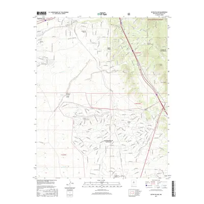
2017 Map of Seton Village
USGS Topo · Published 2017About this map
Seton Village and the planned community of Eldorado at Santa Fe define the residential landscape south of the state capital. The terrain is characterized by a series of deep drainage cuts including Cañada Ancha, Cañada de las Minas, and Piedras Negras Canyon, which descend toward the southwest. This 2017 survey shows the transition from the edge of the Santa Fe National Forest and the peaks of Cerros Negros down to the high-desert plains. A complex network of modern roads and historic routes like the Lamy Trail and Community College Trail weave through the hills, providing access to landmarks such as the Santa Fe Community College. The map captures the interface between institutional growth, dense suburban development, and the preserved natural arroyos like Arroyo Hondo and Bonanza Creek.
Find a feature on this map
188 named features on this map. Tap any name to fly to it.
Don’t see what you’re looking for? This feature index may not catch every label — zoom into the map to look around manually.
Map Details
Editions of this 2017 Seton Village Map
This is the sole edition of this map. No revisions or reprints were ever made.
Other maps of this area

1889 · Santa Fe
USGS Topo · 1:125,000

1892 · San Pedro
USGS Topo · 1:125,000

1892 · Santa Clara
USGS Topo · 1:125,000

1894 · Santa Fe
USGS Topo · 1:125,000

1894 · Lamy
USGS Topo · 1:125,000

1951 · Agua Fria
USGS Topo · 1:24,000

1951 · Turquoise Hill
USGS Topo · 1:24,000

1952 · Santa Fe
USGS Topo · 1:24,000

1952 · Turquoise Hill
USGS Topo · 1:24,000

1952 · Seton Village
USGS Topo · 1:24,000