Old Maps of Art Barns at Eldorado, New Mexico
Explore 27 old maps of Art Barns at Eldorado, spanning from 1889 to today. These high-resolution historic maps reveal how streets, neighborhoods, landmarks, and natural features evolved over time — perfect for genealogy, metal detecting, research, and local history exploration.
What you can do with these maps:
- See how Art Barns at Eldorado changed over time: Compare historical maps to modern-day views to trace roads, homesites, rail lines & more.
- View detailed metadata: Each map includes creators, publishers, year, scale, and archive source.
- Overlay maps with satellite & LiDAR: Visualize the past alongside modern tools to explore terrain & human change.
- Trusted historical sources: Maps sourced from the USGS, Library of Congress, and other archives.
- Access maps your way: View online, download high-res files, or order prints for personal or research use.
Start exploring old maps of Art Barns at Eldorado to uncover forgotten places, hidden landmarks, and the deep history beneath your feet.
Art Barns at Eldorado, NM maps
(27)- 1889 Map of Santa Fe, 1963 Print
 1889 Santa Fe1963 Print · USGSSanta Fe and the surrounding high country appear here in the late nineteenth century as the railroad began transforming the territory. Genealogists and historians can trace early settlements like Santuario, identify family sites at Gonzales Ranch, and locate the historic Old Fort Marcy.
 - 1894 Map of Santa Fe
 1894 Santa Fe1894 Print · USGSSanta Fe and its surrounding high-country villages appear here during the territorial era of the late nineteenth century. Genealogists and historians can trace the routes of early railroads and locate specific landmarks like Old Fort Marcy, Gonzales Ranch, and Tesuque Pueblo.5 unique versions available
 - 1894 Map of Lamy
 1894 Lamy1894 Print · USGSNorthern New Mexico in the late nineteenth century centers on the high-desert corridor of the Atchison Topeka and Santa Fe RR. Genealogists and historians can trace early ranching sites like Gomez Ranch and rail stops from Lamy to Fulton.5 unique versions available
 - 1952 Map of Seton Village, 1953 Print
 1952 Seton Village1953 Print · USGSSouth of Santa Fe in the early fifties, this landscape is defined by vast historic land grants and the steel of the railroad. Researchers can trace the borders of the Bishop John Lamy Grant or locate old outposts like Ninemile Ranch and Gallina Camp.5 unique versions available
 - 1953 Map of Glorieta, 1955 Print
 1953 Glorieta1955 Print · USGSSanta Fe County at the start of the 1950s shows a landscape where historic trails and modern rails meet in the mountains. Trace the route of the Santa Fe Trail, locate family holdings like Gonzales Ranch, and identify the Glorieta Battlefield Site.6 unique versions available
 - 1954 Map of Santa Fe, 1963 Print
 1954 Santa Fe1963 Print · USGSNew Mexico's high mountains and eastern plains meet in the mid-fifties, showing a landscape defined by the Sangre de Cristo Mountains and the Pecos River. Trace family roots and local history through San Christobal Church, Sena School, and the historic Las Vegas rail corridor.4 unique versions available
 - 1958 Map of Santa Fe
 1958 Santa Fe1958 Print · USGSThe Sangre De Cristo Mountains meet the high plains in the late 1950s, showing a landscape defined by rail corridors and ranching. Genealogists can trace family-named sites like Upton Ranch or visit the Fort Union (Ruins) and Tuloso School.
 - 1966 Map of Galisteo, 1970 Print
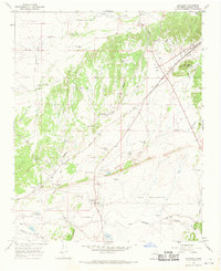 1966 Galisteo1970 Print · USGSThe high-desert basin of Santa Fe County is captured here in the mid-1960s, highlighting the rail corridor and ranching outposts of the period. Researchers can trace historical sites like the Pueblo los Tanos Ruins, the junction at Kennedy, and local landmarks like Thornton Ranch.2 unique versions available
 - 1983 Map of Santa Fe, 1984 Print
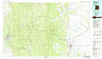 1983 Santa Fe1984 Print · USGSThe high Sangre de Cristo Mountains and the growing state capital define this early 1980s landscape during a period of expanding infrastructure. Researchers can trace historic land patterns and transit routes from Nambe Pueblo and Glorieta Pass to the Atchison Topeka and Santa Fe RR line.
 - 1983 Map of Villanueva, 1984 Print
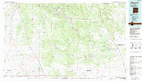 1983 Villanueva1984 Print · USGSThe Pecos River valley and its high mesa surroundings are captured here in the early eighties. Researchers can trace historic river settlements like Villanueva and Sena, the route of the Atchison Topeka and Santa Fe railroad, and the high-desert terrain of Glorieta Mesa.
 - 2002 Map of Glorieta, 2003 Print
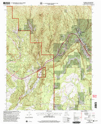 2002 Glorieta2003 Print · USGSSanta Fe County at the turn of the millennium shows the enduring legacy of the high mountain passes and historic land grants. Genealogists and historians can trace family land at Garcia Ranch and Romero Ranch or locate the landmark Nuestra Senora de La Luz Church.
 - 2002 Map of Seton Village, 2003 Print
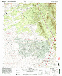 2002 Seton Village2003 Print · USGSSoutheast of Santa Fe at the turn of the millennium, this area shows a landscape defined by historic land grants and growing residential pockets. Researchers can trace the legacy of the Santa Fe Trail and the AT & SF RR alongside settlements like Seton Village and Eldorado.
 - 2010 Map of Galisteo, 2010 Print
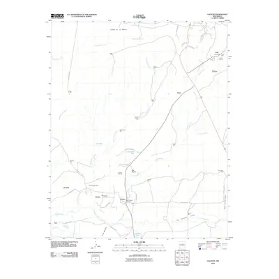 2010 Galisteo2010 Print · USGSThe high desert of Santa Fe County is captured here in the early twenty-first century, showing a landscape defined by ranching and ancient history. Genealogists and historians can trace family locations from Lamy Cemetery to Ranchitos De Galisteo and the Old Railroad Bed.
 - 2011 Map of Seton Village, 2011 Print
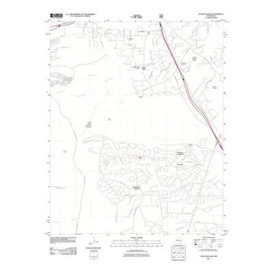 2011 Seton Village2011 Print · USGSSoutheast of Santa Fe in the early twenty-first century, this area showcases the intersection of historic ranching life and modern residential growth. Researchers can trace the Old Railroad Bed and the Old Santa Fe Trail past landmarks like Seton Village and the La Loma Post Office.
 - 2011 Map of Glorieta, 2011 Print
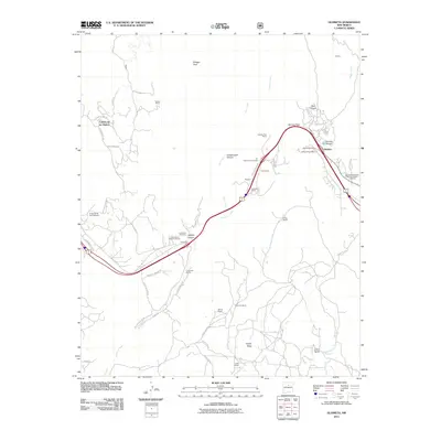 2011 Glorieta2011 Print · USGSUpper Santa Fe County in the early twenty-first century reveals a landscape where historic transit routes and Civil War history meet modern ranching life. Locate family landmarks and ancestral sites at Glorieta Cemetery, Cañoncito, and the Glorieta Battlefield.
 - 2013 Map of Galisteo, 2013 Print
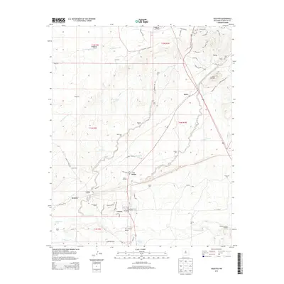 2013 Galisteo2013 Print · USGSThe Galisteo Basin in the early 2010s reveals a high-desert landscape where historic rail and ranching traditions persist. Genealogists and local historians can trace the Galisteo Historic District, find the Lamy Cem, and locate family holdings at McKee Ranch or Ranchitos De Galisteo.
 - 2013 Map of Glorieta, 2013 Print
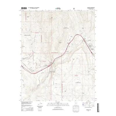 2013 Glorieta2013 Print · USGSSanta Fe County in the early twenty-first century remains a landscape of high-mountain passes and deep-rooted family ranches. Trace the historical footprint of the Civil War at the Glorieta Battlefield or locate ancestral sites near Cañoncito Cem and Garcia Ranch.
 - 2013 Map of Seton Village, 2013 Print
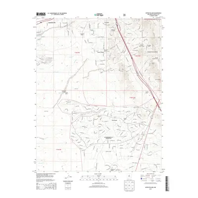 2013 Seton Village2013 Print · USGSSoutheast of Santa Fe in the early 2010s, this area shows the transition from historic National Forest lands to modern desert communities. Genealogists and historians can trace local landmarks like Seton Village, Rancho La Merced, and the residential growth of Eldorado at Santa Fe.
 - 2017 Map of Seton Village, 2017 Print
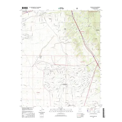 2017 Seton Village2017 Print · USGSSanta Fe's southern outskirts are shown here during a period of modern expansion into the high-desert canyons. Researchers can trace the development of Seton Village, the Santa Fe Community College, and the trails of Canyon Ancho.
 - 2017 Map of Glorieta, 2017 Print
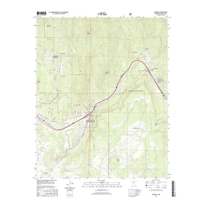 2017 Glorieta2017 Print · USGSThe high passes and historic canyon routes of New Mexico are documented here in the early twenty-first century. Researchers can trace land boundaries within Pecos National Historical Park and locate small burial sites like Apache Cem and Canoncito Cem.
 - 2017 Map of Galisteo, 2017 Print
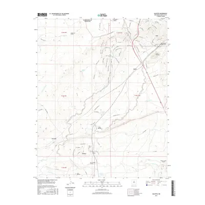 2017 Galisteo2017 Print · USGSThe Galisteo Basin in the late 2010s reveals a landscape of enduring adobe settlements and rail-era heritage. Researchers can trace the path of the Galisteo Creek or locate local landmarks like the Old Galisteo Cem and the Apache Canyon Railroad Bridge Historic Site.
 - 2020 Map of Seton Village, 2020 Print
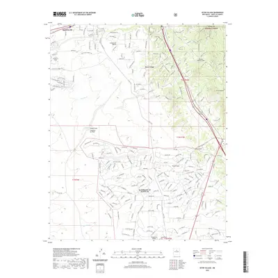 2020 Seton Village2020 Print · USGSThe southern outskirts of Santa Fe are shown in great detail during the late twenty-teens as residential growth extends toward the forest boundary. Researchers can trace the modern development of Eldorado At Santa Fe and Seton Village alongside older landmarks like Cañada de las Minas and the Lamy Trail.
 - 2020 Map of Galisteo, 2020 Print
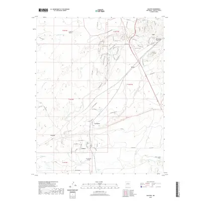 2020 Galisteo2020 Print · USGSSanta Fe County's high-desert ranch lands and rail corridors are captured here in the late twenty-teens. Researchers can trace the layout of Galisteo and Lamy, locating family sites at Old Galisteo Cem or the Apache Canyon Railroad Bridge Historic Site.
 - 2020 Map of Glorieta, 2020 Print
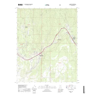 2020 Glorieta2020 Print · USGSSanta Fe County mountain passes and high mesas define this landscape at the start of the 2020s. Local history researchers can trace old routes like the Old Las Vegas Hwy and find legacy sites such as the Cañoncito Cem and Glorieta Cem.
 - 2023 Map of Glorieta, 2023 Print
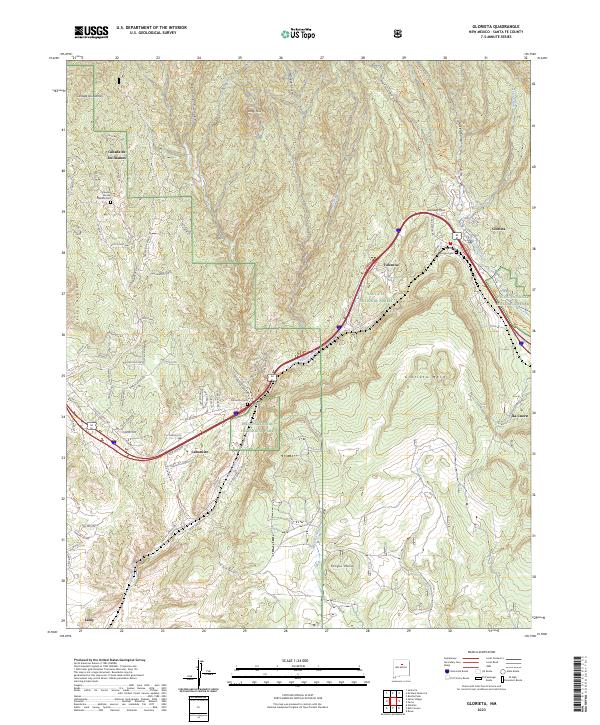 2023 Glorieta2023 Print · USGSNorthern New Mexico's mountain passes and mesa lands are recorded here in the early 2020s. Researchers can trace the communities of Canoncito and Valencia or locate family sites like the Glorieta Cem and Canoncito Cem.
Showing maps 1-25 of 27
Frequently asked questions
- What are the different types of historical maps available for Art Barns at Eldorado?
- What is the oldest map of Art Barns at Eldorado?
- Where can I purchase historical maps of Art Barns at Eldorado for my home or office?
- Where can I download high-res historical maps of Art Barns at Eldorado?
- Are there historical topographic maps available for Art Barns at Eldorado?
- Is there historical aerial imagery available for Art Barns at Eldorado?
- Where are historical maps of Art Barns at Eldorado sourced from?