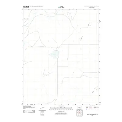
2010 Map of Seven Lakes Reservoir
USGS Topo · Published 2010About this map
Seven Lakes Reservoir serves as a central hydrological feature in this rural Las Animas County landscape, where the Seven Lakes Dam manages water flow across the arid plains. The terrain is characterized by broad expanses such as Tyrone Flats and Adobe Flats, which are carved by seasonal and perennial watercourses. The Apishapa River winds through the northern portion of the region, joined by Salado Creek, while the southern reaches are defined by the winding path of Van Bremer Arroyo. This 2010 survey illustrates the sparse road network and the critical reliance on managed water resources in the high plains of southern Colorado, providing a clear record of the intersection between topographical drainage and water storage infrastructure.
Find a feature on this map
7 named features on this map. Tap any name to fly to it.
Don’t see what you’re looking for? This feature index may not catch every label — zoom into the map to look around manually.
Map Details
Editions of this 2010 Seven Lakes Reservoir Map
This is the sole edition of this map. No revisions or reprints were ever made.
Other maps of this area

1891 · Apishapa
USGS Topo · 1:125,000

1892 · Elmoro
USGS Topo · 1:125,000

1893 · Apishapa
USGS Topo · 1:125,000

1893 · Elmoro
USGS Topo · 1:125,000

1897 · Elmoro
USGS Topo · 1:125,000

1897 · Apishapa
USGS Topo · 1:125,000

1954 · Trinidad
USGS Topo · 1:250,000

1955 · Trinidad
USGS Topo · 1:250,000

1958 · Trinidad
USGS Topo · 1:250,000

1959 · Trinidad
USGS Topo · 1:250,000