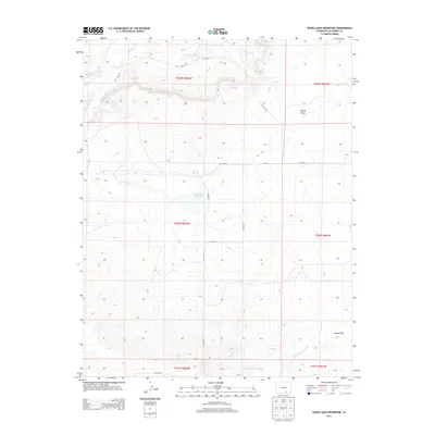
2013 Map of Seven Lakes Reservoir
USGS Topo · Published 2013About this map
Apishapa River and its tributary Salado Cr define the northern drainage of this arid Southern Colorado landscape. The terrain is characterized by broad mesas and lowlands, most notably Tyrone Flats and Adobe Flats in the eastern reaches. The central feature, Seven Lakes Reservoir, serves as a critical water management point in an area otherwise dominated by seasonal washes like Van Bremer Arroyo. This 2013 survey illustrates the modern rural infrastructure of Las Animas County, where a grid of county roads, including Co RD 91.0 and Co RD 64, provides access across township boundaries that still reflect the original Public Land Survey System divisions.
Find a feature on this map
21 named features on this map. Tap any name to fly to it.
Don’t see what you’re looking for? This feature index may not catch every label — zoom into the map to look around manually.
Map Details
Editions of this 2013 Seven Lakes Reservoir Map
This is the sole edition of this map. No revisions or reprints were ever made.
Other maps of this area

1891 · Apishapa
USGS Topo · 1:125,000

1892 · Elmoro
USGS Topo · 1:125,000

1893 · Apishapa
USGS Topo · 1:125,000

1893 · Elmoro
USGS Topo · 1:125,000

1897 · Elmoro
USGS Topo · 1:125,000

1897 · Apishapa
USGS Topo · 1:125,000

1954 · Trinidad
USGS Topo · 1:250,000

1955 · Trinidad
USGS Topo · 1:250,000

1958 · Trinidad
USGS Topo · 1:250,000

1959 · Trinidad
USGS Topo · 1:250,000