
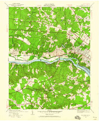
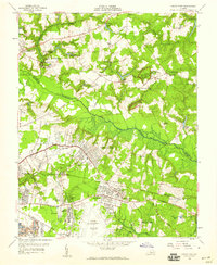
1934 Map of Seven Pines
USGS Topo · Published 1934This historical map portrays the area of Seven Pines in 1934, primarily covering Henrico County as well as portions of Hanover County. Featuring a scale of 1:24000, this map provides a highly detailed snapshot of the terrain, roads, buildings, counties, and historical landmarks in the Seven Pines region at the time. Published in 1934, it is the sole known edition of this map.
Find a feature on this map
41 named features on this map. Tap any name to fly to it.
Don’t see what you’re looking for? This feature index may not catch every label — zoom into the map to look around manually.
Map Details
Editions of this 1934 Seven Pines Map
This is the sole edition of this map. No revisions or reprints were ever made.
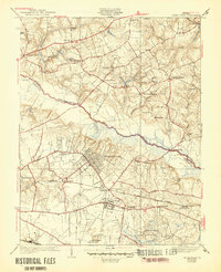
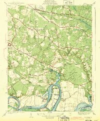
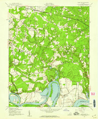
Historical Maps of New Cold Harbor Through Time
10 maps found
1934 Seven Pines
Henrico County, VA
1936 Westhampton
Henrico County, VA

1938 Dutch Gap
Henrico County, VA
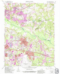
1938 Seven Pines
Henrico County, VA

1942 Westhampton
Henrico County, VA
1943 Dutch Gap
Henrico County, VA
1952 Dutch Gap
Henrico County, VA
1956 Seven Pines
Henrico County, VA
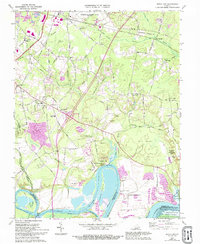
1964 Seven Pines
Henrico County, VA
1969 Dutch Gap
Henrico County, VA