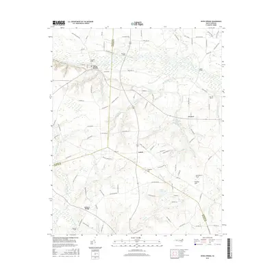
2016 Map of Seven Springs
USGS Topo · Published 2016About this map
Seven Springs sits at the heart of this landscape where the Neuse River meanders across the border of Wayne and Lenoir Counties. The river's historical importance is evident in the cluster of crossings such as Whitehall Bridge, Rockford Bridge, and Hardys Bridge, which link the various agricultural communities of the coastal plain. Away from the river, the terrain is characterized by a series of low-lying wetlands and family-named water bodies including Picadilly Bay, Huckleberry Pond, and Hussey Pond.
Find a feature on this map
117 named features on this map. Tap any name to fly to it.
Don’t see what you’re looking for? This feature index may not catch every label — zoom into the map to look around manually.
Map Details
Editions of this 2016 Seven Springs Map
This is the sole edition of this map. No revisions or reprints were ever made.
Other maps of this area

1914 · Kinston
USGS Topo · 1:48,000

1916 · Kinston
USGS Topo · 1:62,500

1953 · Rocky Mount
USGS Topo · 1:250,000

1954 · Rocky Mount
USGS Topo · 1:250,000

1957 · Goldsboro
USGS Topo · 1:62,500

1957 · Seven Springs
USGS Topo · 1:62,500

1958 · Deep Run
USGS Topo · 1:62,500

1980 · Seven Springs
USGS Topo · 1:24,000
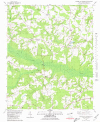
1980 · Summerlins Crossroads
USGS Topo · 1:24,000
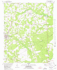
1980 · Pink Hill
USGS Topo · 1:24,000