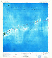
1972 Map of Sevenmile Bridge
USGS Topo · Published 1990About this map
Sevenmile Bridge dominates this coastal survey, stretching across the open waters of the Florida Keys to connect a series of small islands between Florida Bay and Hawk Channel. This 1970s orthophotomap provides a clear view of the marine landscape during a period of transition in the Lower Keys, before major modern developments altered these small landmasses. The northern portion of the map is largely occupied by the Great White Heron National Wildlife Refuge, protecting the shallow waters and mangrove keys of the backcountry.
Find a feature on this map
26 named features on this map. Tap any name to fly to it.
Don’t see what you’re looking for? This feature index may not catch every label — zoom into the map to look around manually.
Map Details
Editions of this 1972 Sevenmile Bridge Map
2 editions found
Other maps of this area

1971 · Marathon
USGS Topo · 1:24,000

1972 · Marathon
USGS Topo · 1:24,000

1972 · Bamboo Key
USGS Topo · 1:24,000

1972 · Big Pine Key
USGS Topo · 1:24,000

1972 · East Bahia Honda Key
USGS Topo · 1:24,000

1972 · Horseshoe Keys
USGS Topo · 1:24,000

1972 · Sevenmile Bridge
USGS Topo · 1:24,000

1983 · Key West
USGS Topo · 1:100,000

1989 · Key West
USGS Topo · 1:250,000
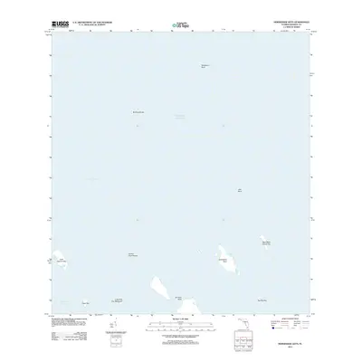
2012 · Horseshoe Keys
USGS Topo · 1:24,000