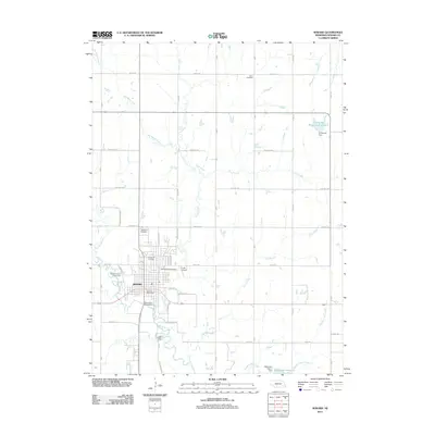
2011 Map of Seward
USGS Topo · Published 2011About this map
Seward serves as the focal point of this 2011 survey, situated at the confluence of the Big Blue River and the meandering Plum Creek. The town's institutional character is defined by the Concordia University campus and the nearby Seward County Fairgrounds, while the surrounding landscape transitions into a grid of agricultural sections and rural drainage systems. Local history is anchored by several burial grounds including Greenwood Cemetery, Seward Cemetery, and the more remote Union Cemetery to the north.
Find a feature on this map
31 named features on this map. Tap any name to fly to it.
Don’t see what you’re looking for? This feature index may not catch every label — zoom into the map to look around manually.
Map Details
Editions of this 2011 Seward Map
This is the sole edition of this map. No revisions or reprints were ever made.
Other maps of this area

1897 · Lincoln
USGS Topo · 1:125,000

1899 · Wahoo
USGS Topo · 1:125,000

1899 · David City
USGS Topo · 1:125,000

1934 · Seward
USGS Topo · 1:48,000

1939 · Seward
USGS Topo · 1:62,500

1955 · Fremont
USGS Topo · 1:250,000

1955 · Lincoln
USGS Topo · 1:250,000

1957 · Fremont
USGS Topo · 1:250,000

1957 · Lincoln
USGS Topo · 1:250,000

1958 · Fremont
USGS Topo · 1:250,000