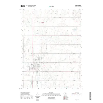
2017 Map of Seward
USGS Topo · Published 2017About this map
The Seward city center anchors this landscape along the banks of the Big Blue River, where the historic street grid remains well-defined. Notable institutions like the Concordia Univ of Nebraska and Krutz Airport emphasize the town's role as a regional hub for education and aviation. The surrounding Seward County terrain is shaped by an intricate drainage system including Plum Cr, Big Weedy Cr, and Coon Cr, which feed into the primary river valley.
Find a feature on this map
46 named features on this map. Tap any name to fly to it.
Don’t see what you’re looking for? This feature index may not catch every label — zoom into the map to look around manually.
Map Details
Editions of this 2017 Seward Map
This is the sole edition of this map. No revisions or reprints were ever made.
Other maps of this area

1897 · Lincoln
USGS Topo · 1:125,000

1899 · Wahoo
USGS Topo · 1:125,000

1899 · David City
USGS Topo · 1:125,000

1934 · Seward
USGS Topo · 1:48,000

1939 · Seward
USGS Topo · 1:62,500

1955 · Fremont
USGS Topo · 1:250,000

1955 · Lincoln
USGS Topo · 1:250,000

1957 · Fremont
USGS Topo · 1:250,000

1957 · Lincoln
USGS Topo · 1:250,000

1958 · Fremont
USGS Topo · 1:250,000