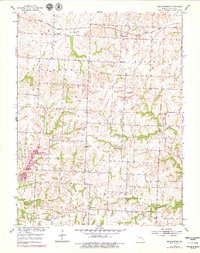
1953 Map of Shackleford
USGS Topo · Published 1979About this map
Shackleford sits at the northern edge of this agricultural landscape in Saline County, serving as a hub for the Gulf Mobile and Ohio railroad line. The surrounding countryside is defined by an intricate network of small rural schoolhouses and community churches, illustrating the decentralized social structure of the mid-20th century. One can find Sunny Side Sch, Green Mound Sch, and Miller Sch positioned at regular intervals across the townships of Elmwood and Marshall.
Find a feature on this map
24 named features on this map. Tap any name to fly to it.
Don’t see what you’re looking for? This feature index may not catch every label — zoom into the map to look around manually.
Map Details
Editions of this 1953 Shackleford Map
2 editions found
Other maps of this area

1887 · Sedalia
USGS Topo · 1:125,000

1890 · Marshall
USGS Topo · 1:125,000

1892 · Marshall
USGS Topo · 1:125,000

1894 · Sedalia
USGS Topo · 1:125,000

1901 · Marshall
USGS Topo · 1:125,000

1939 · Sweet Springs
USGS Topo · 1:62,500

1940 · Sweet Springs
USGS Topo · 1:62,500

1940 · Marshall
USGS Topo · 1:62,500

1941 · Sweet Springs
USGS Topo · 1:62,500

1944 · Marshall
USGS Topo · 1:62,500