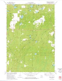
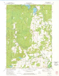
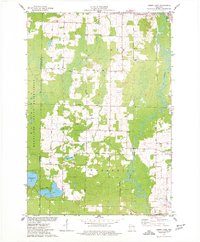
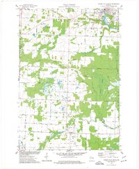
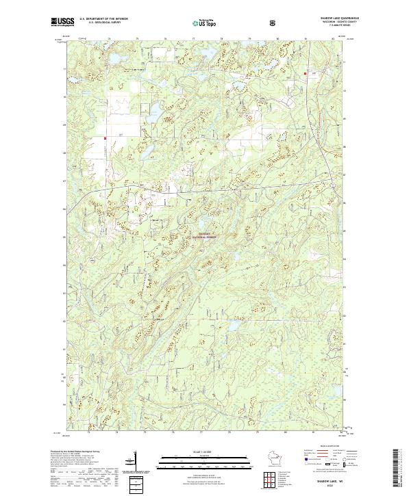
1973 Map of Shadow Lake
USGS Topo · Published 1977About this map
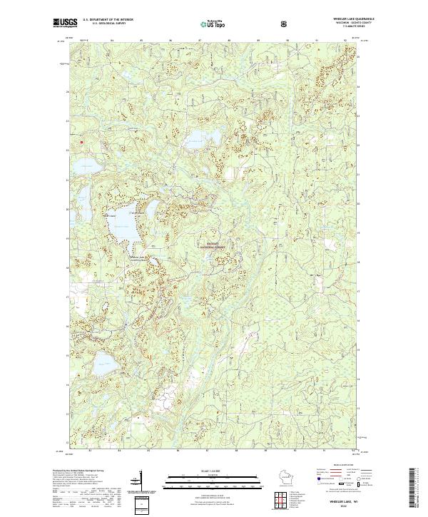
Nicolet National Forest dominates this northern Wisconsin landscape, where township lines for Doty, Riverview, and Armstrong intersect amid a dense network of glacial lakes and springs. The 1970s terrain is characterized by its high density of named water bodies, ranging from the evocatively named Deadman Lake and Chicken Crop Lake in the northwest to McComb Lake in the southeast.
Find a feature on this map
43 named features on this map. Tap any name to fly to it.
Don’t see what you’re looking for? This feature index may not catch every label — zoom into the map to look around manually.
Map Details
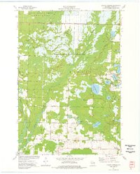
Editions of this 1973 Shadow Lake Map
This is the sole edition of this map. No revisions or reprints were ever made.
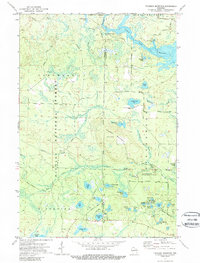
Historical Maps of Mountain Through Time
31 maps found
1942 Breed
Oconto County, WI
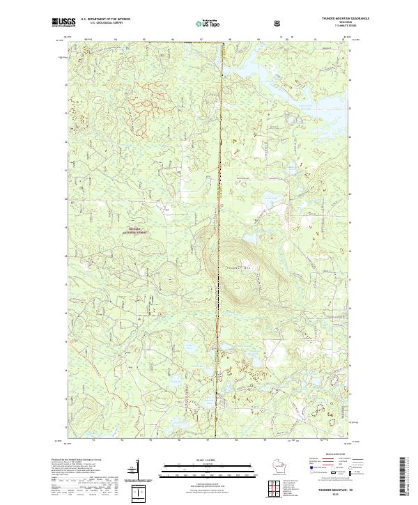
1972 Thunder Mountain
Oconto County, WI
1972 Wheeler Lake
Oconto County, WI
1973 Breed
Oconto County, WI
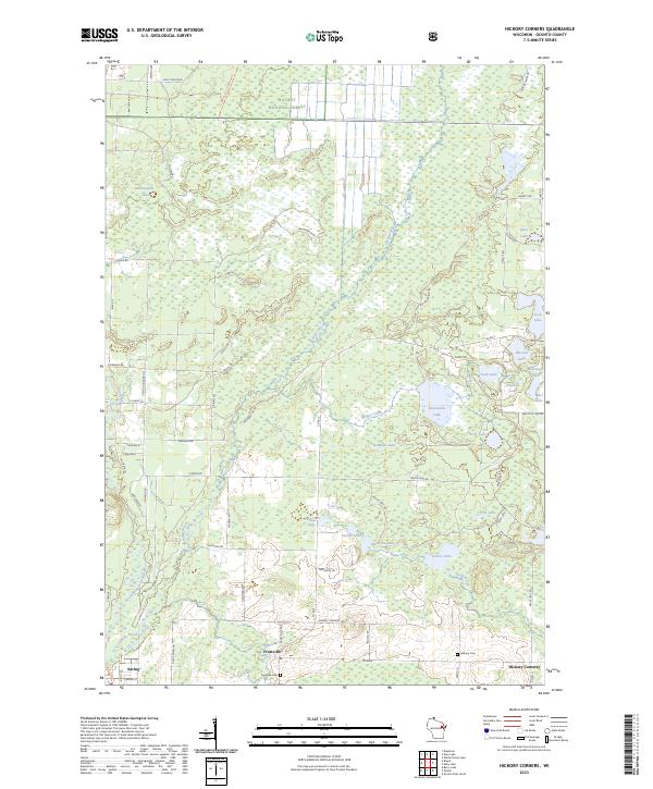
1973 Hickory Corners
Oconto County, WI
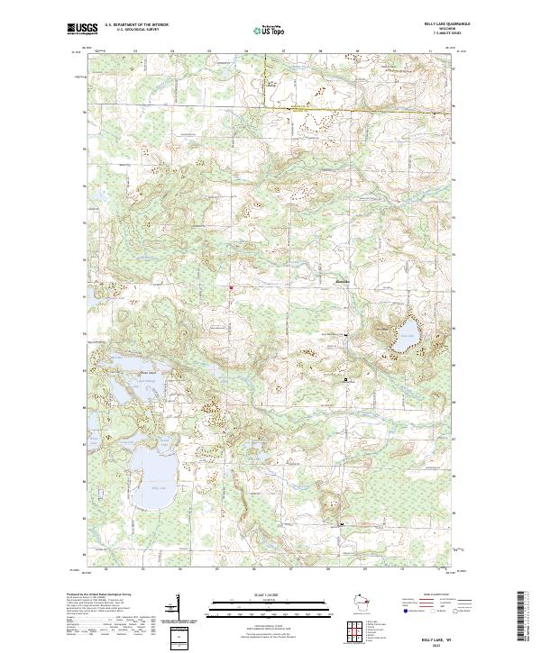
1973 Kelly Lake
Oconto County, WI
1973 Shadow Lake
Oconto County, WI
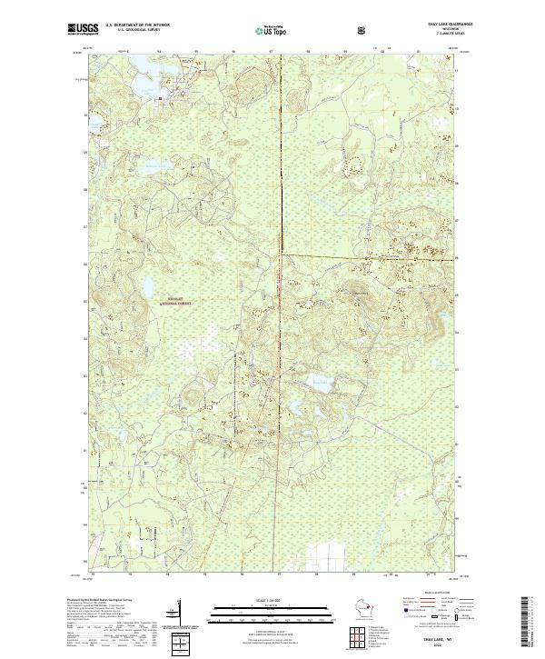
1973 Shay Lake
Oconto County, WI
1974 Berry Lake
Oconto County, WI
1974 Little Tail Point
Oconto County, WI
1974 Oconto East
Oconto County, WI
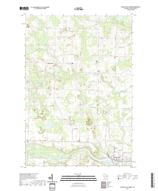
1974 Oconto Falls North
Oconto County, WI
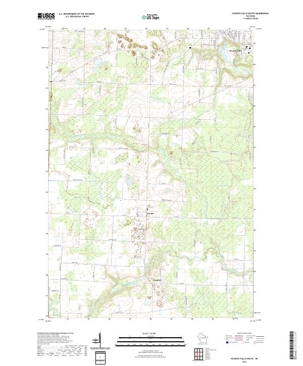
1974 Oconto Falls South
Oconto County, WI
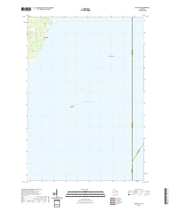
1974 Oconto SE
Oconto County, WI
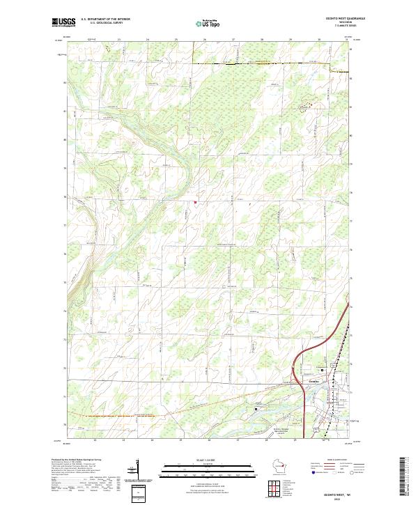
1974 Oconto West
Oconto County, WI
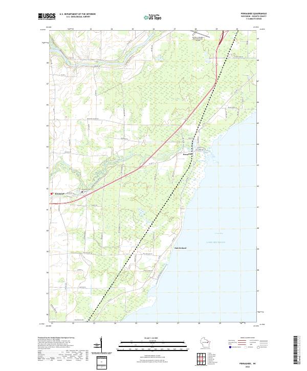
1974 Pensaukee
Oconto County, WI
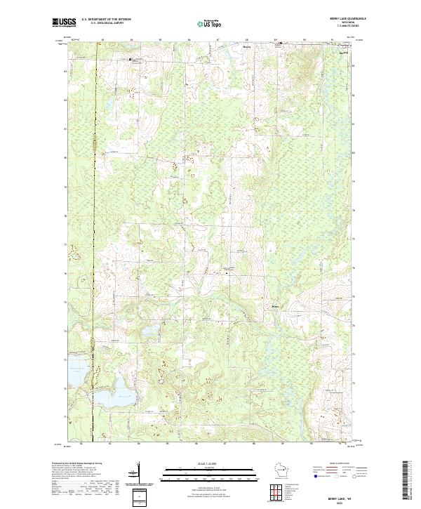
2022 Berry Lake
Oconto County, WI
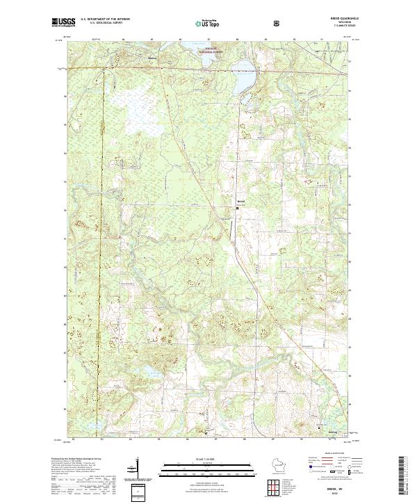
2022 Breed
Oconto County, WI
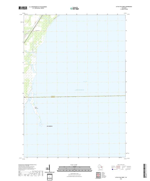
2022 Little Tail Point
Oconto County, WI
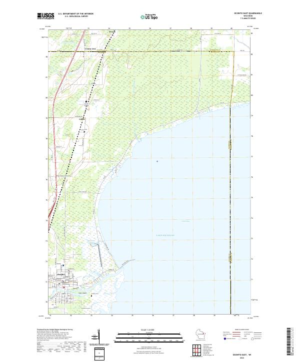
2022 Oconto East
Oconto County, WI
2022 Oconto Falls North
Oconto County, WI
2022 Oconto Falls South
Oconto County, WI
2022 Oconto SE
Oconto County, WI
2022 Oconto West
Oconto County, WI
2022 Pensaukee
Oconto County, WI
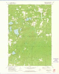
2022 Shadow Lake
Oconto County, WI
2022 Shay Lake
Oconto County, WI
2022 Thunder Mountain
Oconto County, WI
2022 Wheeler Lake
Oconto County, WI
2023 Hickory Corners
Oconto County, WI
2023 Kelly Lake
Oconto County, WI