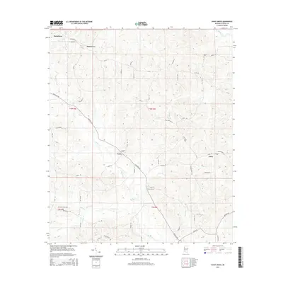
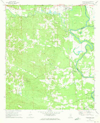
2015 Map of Shady Grove
USGS Topo · Published 2015About this map
The town of Sardis and its surrounding countryside in Copiah County anchor this survey, revealing a landscape defined by small settlements and numerous family and community cemeteries. The terrain is marked by a network of local roads such as Monticello Rd and Georgetown Rd, which connect the rural outposts of Ashley and Shady Grove to the larger seat at Hazlehurst. Genealogists will find significant value in the distribution of burial sites across the township lines, including Bethel Cem, Mullens Cem, and the Russell-Tillman Cem. The local hydrology is dominated by a complex web of tributaries like Bahala Cr, Lick Cr, and Copiah Creek, which carve through the elevations and likely influenced the early road patterns and property boundaries in this part of Mississippi.
Find a feature on this map
59 named features on this map. Tap any name to fly to it.
Don’t see what you’re looking for? This feature index may not catch every label — zoom into the map to look around manually.
Map Details
Editions of this 2015 Shady Grove Map
This is the sole edition of this map. No revisions or reprints were ever made.
Other maps of this area

1953 · Natchez
USGS Topo · 1:250,000

1956 · Natchez
USGS Topo · 1:250,000

1959 · Natchez
USGS Topo · 1:250,000
1963 · Crystal Springs
USGS Topo · 1:24,000
1963 · Gallman
USGS Topo · 1:24,000

1963 · Hazlehurst
USGS Topo · 1:24,000

1963 · Shady Grove
USGS Topo · 1:24,000
1970 · Hopewell
USGS Topo · 1:24,000

1971 · Oma
USGS Topo · 1:24,000
1971 · Georgetown
USGS Topo · 1:24,000