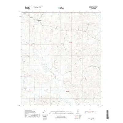
2020 Map of Shady Grove
USGS Topo · Published 2020About this map
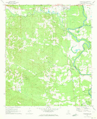
Shady Grove and the outlying communities of Sardis and Ashley anchor this detailed study of Copiah County's rural landscape. The terrain is defined by a dense network of tributaries including Bahala Creek, Lick Cr, and Copiah Creek, which carve through the townships. This 2020 map documents the persistent agricultural and residential patterns of the region, where family and community heritage is preserved in numerous local burial sites like Bethel Cem, Pine Grove Cem, and Mullens Cem.
Find a feature on this map
63 named features on this map. Tap any name to fly to it.
Don’t see what you’re looking for? This feature index may not catch every label — zoom into the map to look around manually.
Map Details
Editions of this 2020 Shady Grove Map
This is the sole edition of this map. No revisions or reprints were ever made.
Other maps of this area

1953 · Natchez
USGS Topo · 1:250,000

1956 · Natchez
USGS Topo · 1:250,000

1959 · Natchez
USGS Topo · 1:250,000
1963 · Crystal Springs
USGS Topo · 1:24,000
1963 · Gallman
USGS Topo · 1:24,000

1963 · Hazlehurst
USGS Topo · 1:24,000

1963 · Shady Grove
USGS Topo · 1:24,000
1970 · Hopewell
USGS Topo · 1:24,000

1971 · Oma
USGS Topo · 1:24,000
1971 · Georgetown
USGS Topo · 1:24,000