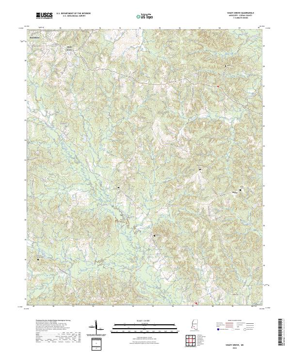
2024 Map of Shady Grove
USGS Topo · Published 2024About this map
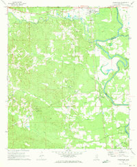
Shady Grove and Ashley anchor this rural landscape in Copiah County, where the terrain is defined by a dense network of tributaries including Copiah Creek and Bahala Creek. The geography is characterized by prominent landforms such as McCardle Ridge and a series of smaller waterways like Wolf Pen Branch and Anding Branch. Local history is deeply embedded in the land through numerous family and community burial grounds, such as the Russell-Tillman Cem and Mullens Cem.
Find a feature on this map
60 named features on this map. Tap any name to fly to it.
Don’t see what you’re looking for? This feature index may not catch every label — zoom into the map to look around manually.
Map Details
Editions of this 2024 Shady Grove Map
This is the sole edition of this map. No revisions or reprints were ever made.
Other maps of this area

1953 · Natchez
USGS Topo · 1:250,000

1956 · Natchez
USGS Topo · 1:250,000

1959 · Natchez
USGS Topo · 1:250,000
1963 · Crystal Springs
USGS Topo · 1:24,000
1963 · Gallman
USGS Topo · 1:24,000

1963 · Hazlehurst
USGS Topo · 1:24,000

1963 · Shady Grove
USGS Topo · 1:24,000
1970 · Hopewell
USGS Topo · 1:24,000

1971 · Oma
USGS Topo · 1:24,000
1971 · Georgetown
USGS Topo · 1:24,000