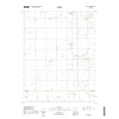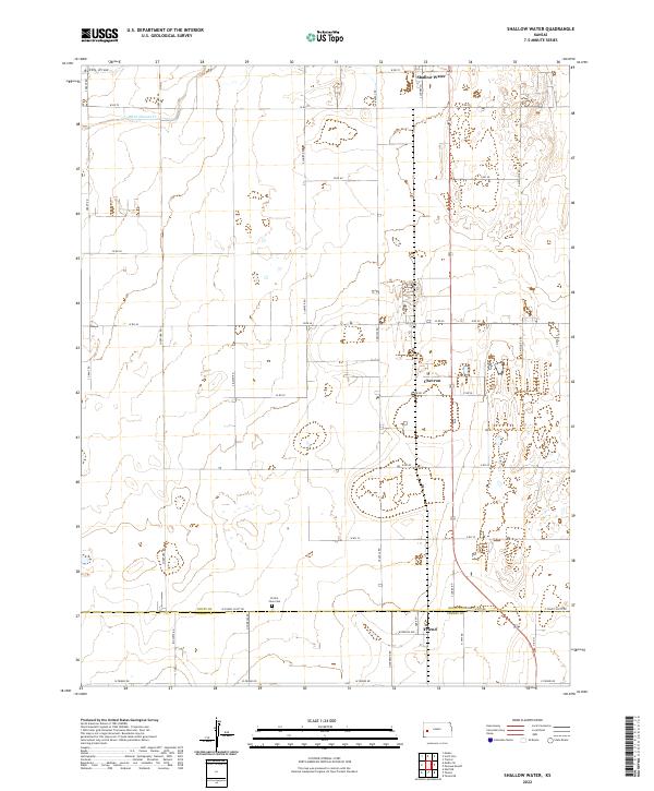
2022 Map of Shallow Water
USGS Topo · Published 2022About this map
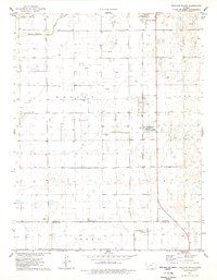
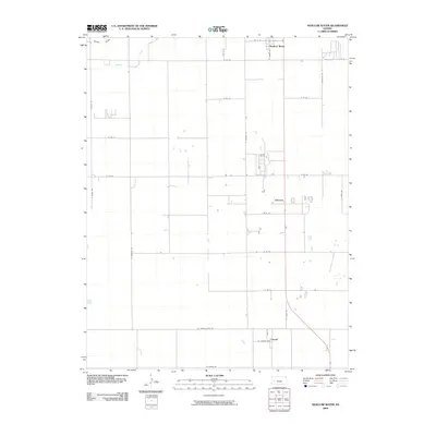
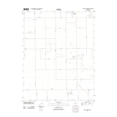
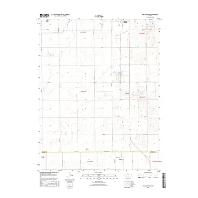
Shallow Water and Friend anchor this High Plains landscape, where the rectangular grid of the Public Land Survey System defines every road and field. This recent survey captures the transition between Scott and Finney counties, a region marked by agricultural development and the intermittent drainage of White Woman Creek. The presence of the Prairie View Cemetery near the county line offers a specific point of interest for genealogists tracing families in this part of western Kansas.
Find a feature on this map
49 named features on this map. Tap any name to fly to it.
Don’t see what you’re looking for? This feature index may not catch every label — zoom into the map to look around manually.
Map Details
Editions of this 2022 Shallow Water Map
This is the sole edition of this map. No revisions or reprints were ever made.
Historical Maps of Shallow Water Through Time
6 maps found