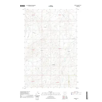
2020 Map of Shambo NE
USGS Topo · Published 2020About this map
Brindle Calf Woman Butte rises as a prominent landmark in this corner of the High Plains, where the border between Hill and Blaine Counties is defined by a landscape of intricate drainage systems. The terrain is characterized by deep incisions such as Staten Coulee and Niles Coulee, which channel runoff toward the primary waterways of Bullhook Cr and Little Boxelder Cr. This U.S. Geological Survey topographic study reveals a rural infrastructure built around these natural contours, with roads like Bullhook Rd and Clear Creek Rd SE navigating the divides between the various branches and forks of the coulee system. The naming of Fred Herman Dr suggests the presence of established family homesteads or ranches that have shaped the local identity of this northern Montana region.
Find a feature on this map
17 named features on this map. Tap any name to fly to it.
Don’t see what you’re looking for? This feature index may not catch every label — zoom into the map to look around manually.
Map Details
Editions of this 2020 Shambo NE Map
This is the sole edition of this map. No revisions or reprints were ever made.
Other maps of this area

1904 · Yantic
USGS Topo · 1:62,500

1904 · Havre
USGS Topo · 1:62,500

1912 · Zurich
USGS Topo · 1:125,000

1912 · Thibedeau Lake
USGS Topo · 1:125,000

1953 · Havre
USGS Topo · 1:250,000

1956 · Lloyd
USGS Topo · 1:62,500

1957 · Havre
USGS Topo · 1:250,000

1958 · Havre
USGS Topo · 1:250,000

1959 · Shambo
USGS Topo · 1:62,500

1964 · Havre SE
USGS Topo · 1:24,000