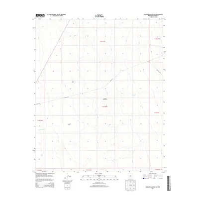
2013 Map of Shannon Canyon NW
USGS Topo · Published 2013About this map
Jornada del Muerto defines this arid landscape in Sierra County, where remote ranching operations rely on scattered water catchments to sustain life in the high desert. The map captures established properties like Cain Ranch and Sanchez Ranch, illustrating the sparse settlement patterns common to this section of southern New Mexico. Local navigation and access across the undulating terrain are provided by primitive routes such as CO Road A-26 and CO Road A025. In an environment where every drop of water is essential for livestock, artificial reservoirs like Sevenmile Tank, Homestead Tank, and the S C S Tank serve as critical landmarks. This 2013 survey provides a clear view of the complex Public Land Survey System township and range boundaries that organize this section of the New Mexico desert.
Find a feature on this map
16 named features on this map. Tap any name to fly to it.
Don’t see what you’re looking for? This feature index may not catch every label — zoom into the map to look around manually.
Map Details
Editions of this 2013 Shannon Canyon NW Map
This is the sole edition of this map. No revisions or reprints were ever made.
Other maps of this area

1916 · Salinas Peak
USGS Topo · 1:125,000

1948 · Sowell
USGS Topo · 1:62,500

1948 · Malpais Well
USGS Topo · 1:62,500

1954 · Tularosa
USGS Topo · 1:250,000

1958 · Tularosa
USGS Topo · 1:250,000

1959 · Engle
USGS Topo · 1:62,500

1961 · Crocker
USGS Topo · 1:24,000

1979 · Truth or Consequences
USGS Topo · 1:100,000
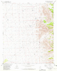
1981 · Shannon Canyon
USGS Topo · 1:24,000
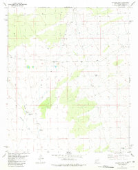
1981 · Polecat Tank
USGS Topo · 1:24,000