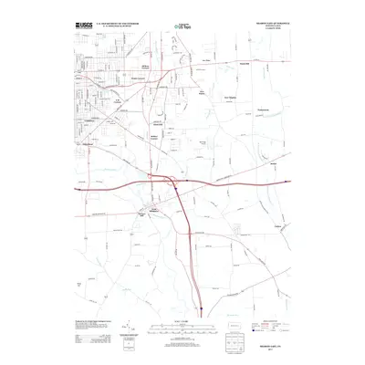
2013 Map of Sharon East
USGS Topo · Published 2013About this map
West Middlesex and the industrial corridors of Farrell and Wheatland define this portion of Mercer County. The Shenango River winds through the landscape, historically serving as a vital artery for the region's development, mirrored by the modern path of the Shenango Valley Fwy. The map reveals a dense network of residential streets and distinct neighborhood nodes, from the elevated Keel Ridge to the localized clusters at Trouts Corners and F M Corners.
Find a feature on this map
95 named features on this map. Tap any name to fly to it.
Don’t see what you’re looking for? This feature index may not catch every label — zoom into the map to look around manually.
Map Details
Editions of this 2013 Sharon East Map
This is the sole edition of this map. No revisions or reprints were ever made.
Other maps of this area

1905 · Neshannock
USGS Topo · 1:62,500

1906 · Youngstown
USGS Topo · 1:62,500

1907 · Neshannock
USGS Topo · 1:62,500
1907 · Kinsman
USGS Topo · 1:62,500
1908 · Shenango
USGS Topo · 1:62,500

1908 · Youngstown
USGS Topo · 1:62,500

1950 · Cleveland
USGS Topo · 1:250,000
1951 · Campbell
USGS Topo · 1:24,000
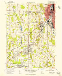
1954 · Sharon West
USGS Topo · 1:24,000
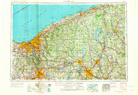
1956 · Cleveland
USGS Topo · 1:250,000