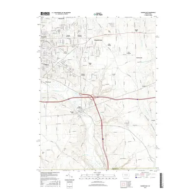
2016 Map of Sharon East
USGS Topo · Published 2016About this map
Hermitage and the eastern reaches of Sharon anchor this 2016 survey, a region characterized by a dense concentration of religious and memorial sites. Clusters of cemeteries, including Saint Elizabeths Cem, Saint Stanislaus Cem, and Holy Trinity Cem, indicate the heritage and community divisions of the area. The topography is defined by the winding course of the Shenango River and its many tributaries like Pine Hollow Run and Bobby Run. The landscape is a mix of established residential grids and smaller crossroads such as Trouts Corners, Hickory Corners, and Bobbys Corners. Educational and memorial landmarks like the Laurel Technical Institute and the expansive Hillcrest Memorial Park reflect the local development. From the industrial legacy at Furnace Hill near West Middlesex to the higher elevations of Keel Ridge, the map documents the modern infrastructure of Mercer County just north of the Lawrence County border.
Find a feature on this map
221 named features on this map. Tap any name to fly to it.
Don’t see what you’re looking for? This feature index may not catch every label — zoom into the map to look around manually.
Map Details
Editions of this 2016 Sharon East Map
This is the sole edition of this map. No revisions or reprints were ever made.
Other maps of this area

1905 · Neshannock
USGS Topo · 1:62,500

1906 · Youngstown
USGS Topo · 1:62,500

1907 · Neshannock
USGS Topo · 1:62,500

1907 · Kinsman
USGS Topo · 1:62,500

1908 · Shenango
USGS Topo · 1:62,500

1908 · Youngstown
USGS Topo · 1:62,500

1950 · Cleveland
USGS Topo · 1:250,000

1951 · Campbell
USGS Topo · 1:24,000

1954 · Sharon West
USGS Topo · 1:24,000

1956 · Cleveland
USGS Topo · 1:250,000