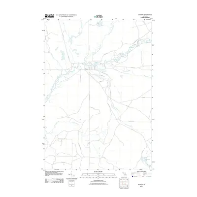
2011 Map of Sharon
USGS Topo · Published 2011About this map
The Manistee River defines the geography of this central Michigan landscape, where it meets the North Branch Manistee River just east of the small settlement at Sharon. The river system is a complex network of tributaries including Pierson Creek, Maple Creek, and Little Devil Creek, which weave through the terrain. The 2011 survey shows a rural infrastructure characterized by long, intersecting roads such as Fletcher Rd SE and Military Rd SE that connect the scattered residential pockets to the water. To the south and east, the land is marked by the winding paths of Big Cannon Creek and Little Cannon Creek, leading toward Horseshoe Lake. This map captures a moment of modern rural settlement, where traditional river-based landmarks are integrated into a late 20th and early 21st-century road grid.
Find a feature on this map
46 named features on this map. Tap any name to fly to it.
Don’t see what you’re looking for? This feature index may not catch every label — zoom into the map to look around manually.
Map Details
Editions of this 2011 Sharon Map
This is the sole edition of this map. No revisions or reprints were ever made.
Other maps of this area

1949 · Black Creek
USGS Topo · 1:24,000

1949 · Fletcher
USGS Topo · 1:62,500

1950 · Fletcher
USGS Topo · 1:24,000

1954 · Traverse City
USGS Topo · 1:250,000

1956 · Kalkaska
USGS Topo · 1:62,500

1956 · Houghton Lake
USGS Topo · 1:62,500

1956 · Lake City
USGS Topo · 1:62,500

1958 · Traverse City
USGS Topo · 1:250,000

1983 · Cadillac
USGS Topo · 1:100,000

1983 · Stittsville
USGS Topo · 1:24,000