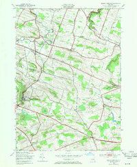
1943 Map of Sharon Springs
USGS Topo · Published 1971About this map
Sharon Springs serves as the focal point of this rural New York landscape at the border of Montgomery and Schoharie Counties during the early 1940s. The settlement pattern is defined by a network of small crossroads communities and family-named hamlets, including Ames, Mapletown, and Staleyville. The area's transport history is visible in the alignment of the Cherry Valley Turnpike and Slate Hill Road, which traverse a terrain of prominent rises like Wessel Hill and Budd Hill.
Find a feature on this map
42 named features on this map. Tap any name to fly to it.
Don’t see what you’re looking for? This feature index may not catch every label — zoom into the map to look around manually.
Map Details
Editions of this 1943 Sharon Springs Map
3 editions found

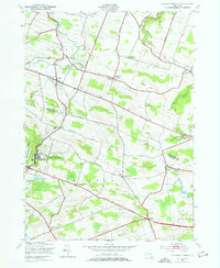
Other maps of this area

1896 · Fonda
USGS Topo · 1:62,500

1898 · Fonda
USGS Topo · 1:62,500

1898 · Canajoharie
USGS Topo · 1:62,500

1898 · Schoharie
USGS Topo · 1:62,500

1900 · Canajoharie
USGS Topo · 1:62,500

1900 · Schoharie
USGS Topo · 1:62,500

1902 · Canajoharie
USGS Topo · 1:62,500

1902 · Fonda
USGS Topo · 1:62,500

1904 · Richmondville
USGS Topo · 1:62,500

1943 · Cobleskill
USGS Topo · 1:24,000