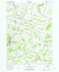
1943 Map of Sharon Springs
USGS Topo · Published 1977About this map
Sharon Springs serves as a focal point in this 1940s landscape, positioned along the Cherry Valley Turnpike where the terrain descends toward the Mohawk Valley. The survey reveals a dense network of rural infrastructure, including numerous district schools such as School No 12 and School No 7, alongside family-named landmarks like Wessel Hill and Budd Hill. This era captures the transition of Schoharie County and Montgomery County from an strictly agrarian economy toward a period of modern road development, while still maintaining traditional community centers like Sharon Center and Argusville.
Find a feature on this map
46 named features on this map. Tap any name to fly to it.
Don’t see what you’re looking for? This feature index may not catch every label — zoom into the map to look around manually.
Map Details
Editions of this 1943 Sharon Springs Map
3 editions found

Other maps of this area

1896 · Fonda
USGS Topo · 1:62,500

1898 · Fonda
USGS Topo · 1:62,500

1898 · Canajoharie
USGS Topo · 1:62,500

1898 · Schoharie
USGS Topo · 1:62,500

1900 · Canajoharie
USGS Topo · 1:62,500

1900 · Schoharie
USGS Topo · 1:62,500

1902 · Canajoharie
USGS Topo · 1:62,500

1902 · Fonda
USGS Topo · 1:62,500

1904 · Richmondville
USGS Topo · 1:62,500

1943 · Cobleskill
USGS Topo · 1:24,000