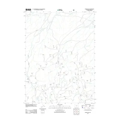
2012 Map of Sharp Hill
USGS Topo · Published 2012About this map
Jack Creek Park and the adjacent Jack Creek Campground sit at the western edge of this Carbon County landscape, where the high country begins to drop toward the lower drainage basins. The area is defined by a dense network of watercourses, most notably the winding paths of Jack Cr and Methodist Cr. Evidence of early water management is visible in the north via the Jack Creek Ditch, which cuts across the terrain to redirect flow from the local creeks.
Find a feature on this map
44 named features on this map. Tap any name to fly to it.
Don’t see what you’re looking for? This feature index may not catch every label — zoom into the map to look around manually.
Map Details
Editions of this 2012 Sharp Hill Map
This is the sole edition of this map. No revisions or reprints were ever made.
Other maps of this area

1932 · Savery
USGS Topo · 1:96,000

1939 · Saratoga
USGS Topo · 1:125,000

1940 · Savery
USGS Topo · 1:125,000

1954 · Rawlins
USGS Topo · 1:250,000

1958 · Rawlins
USGS Topo · 1:250,000

1961 · Red Mountain
USGS Topo · 1:24,000

1961 · Divide Peak
USGS Topo · 1:24,000

1961 · Middlewood Hill
USGS Topo · 1:24,000

1961 · Bridger Peak
USGS Topo · 1:24,000

1961 · Jack Creek Reservoir
USGS Topo · 1:24,000