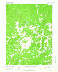
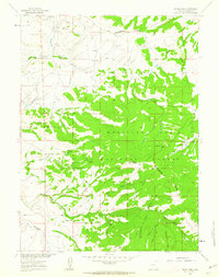
1961 Map of Bridger Peak
USGS Topo · Published 1963About this map
The Continental Divide carves through the high country of the Medicine Bow National Forest, defining a landscape of alpine lakes and early mining history. Towering over the terrain is Bridger Peak, featuring the Bridger Peak Lookout and serving as a geographic anchor for the surrounding Sierra Madre. The map documents the remnants of a significant copper mining era, with the Ferris Haggarty Mine and several former settlement sites like Rudefeha, Dillon, and Copperton marking where prospectors once worked these remote slopes. These sites, coupled with the Jack Creek Mine and various prospects, illustrate the transition from active industrial extraction to a protected national forest used for timber and recreation. Water from North Spring Creek Lake and South Spring Creek Lake feeds the drainage basins of the North Spring Creek and South Spring Creek, while the southern reaches show the Stock Driveway and Battle Lake.
Find a feature on this map
35 named features on this map. Tap any name to fly to it.
Don’t see what you’re looking for? This feature index may not catch every label — zoom into the map to look around manually.
Map Details
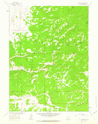
Editions of this 1961 Bridger Peak Map
2 editions found
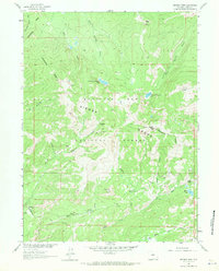
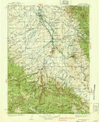
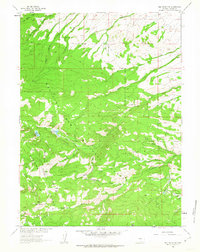
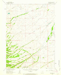
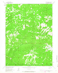
Other maps of this area

1932 · Savery
USGS Topo · 1:96,000
1939 · Saratoga
USGS Topo · 1:125,000

1940 · Savery
USGS Topo · 1:125,000

1954 · Rawlins
USGS Topo · 1:250,000

1958 · Rawlins
USGS Topo · 1:250,000
1961 · Red Mountain
USGS Topo · 1:24,000
1961 · Divide Peak
USGS Topo · 1:24,000
1961 · Singer Peak
USGS Topo · 1:24,000
1961 · Indian Rocks
USGS Topo · 1:24,000
1961 · Solomon Creek
USGS Topo · 1:24,000