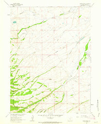
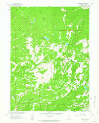
1961 Map of Indian Rocks
USGS Topo · Published 1963About this map
Medicine Bow National Forest dominates the southwestern corner of this Carbon County landscape, where the high-altitude terrain transitions into a complex network of ranchlands and irrigation systems. The 1961 field check reveals a pattern of high-country agriculture centered on family-operated holdings such as Bartlett Ranch and Berger Ranch. A sophisticated system of water management is evident through the extensive reach of the Cherokee Ditch and McMicken Ditch, which redirect local waters to sustain livestock in this semi-arid environment. The landmark Indian Rocks stands as a prominent topographical feature overlooking the drainages of Owl Creek and Beaver Creek. This survey captures the traditional ranching economy of the early 1960s, documenting the vital relationship between the seasonal flows of North Spring Creek and the scattered homesteads that define the region's human geography.
Find a feature on this map
40 named features on this map. Tap any name to fly to it.
Don’t see what you’re looking for? This feature index may not catch every label — zoom into the map to look around manually.
Map Details
Editions of this 1961 Indian Rocks Map
3 editions found
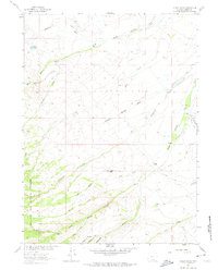

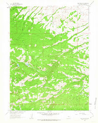
Other maps of this area

1932 · Savery
USGS Topo · 1:96,000
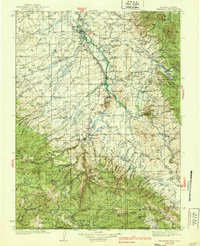
1939 · Saratoga
USGS Topo · 1:125,000

1940 · Savery
USGS Topo · 1:125,000

1954 · Rawlins
USGS Topo · 1:250,000

1958 · Rawlins
USGS Topo · 1:250,000
1961 · Red Mountain
USGS Topo · 1:24,000
1961 · Bridger Peak
USGS Topo · 1:24,000
1961 · Encampment
USGS Topo · 1:24,000
1961 · Jack Creek Reservoir
USGS Topo · 1:24,000
1961 · Saratoga
USGS Topo · 1:24,000