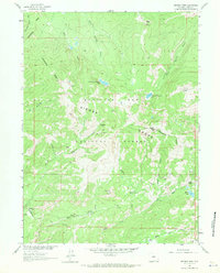
1961 Map of Bridger Peak
USGS Topo · Published 1970About this map
The Continental Divide snake-like through the Sierra Madre, defining the high-altitude landscape of the Medicine Bow National Forest. This 1961 field-checked map records the remnants of early twentieth-century mining activity, marking the locations of several important town sites that had already faded into history. Significant industrial artifacts include the Ferris Haggarty Mine and Jack Creek Mine, which were once engines of local extraction near the headwaters of Haggarty Creek.
Find a feature on this map
36 named features on this map. Tap any name to fly to it.
Don’t see what you’re looking for? This feature index may not catch every label — zoom into the map to look around manually.
Map Details
Editions of this 1961 Bridger Peak Map
2 editions found
Other maps of this area

1932 · Savery
USGS Topo · 1:96,000

1939 · Saratoga
USGS Topo · 1:125,000

1940 · Savery
USGS Topo · 1:125,000

1954 · Rawlins
USGS Topo · 1:250,000

1958 · Rawlins
USGS Topo · 1:250,000

1961 · Red Mountain
USGS Topo · 1:24,000

1961 · Divide Peak
USGS Topo · 1:24,000

1961 · Bridger Peak
USGS Topo · 1:24,000
1961 · Singer Peak
USGS Topo · 1:24,000
1961 · Indian Rocks
USGS Topo · 1:24,000