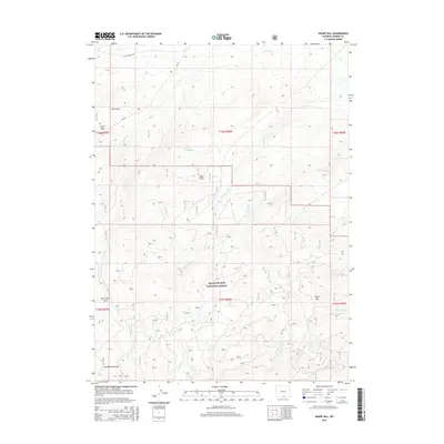
2015 Map of Sharp Hill
USGS Topo · Published 2015About this map
Medicine Bow National Forest dominates this section of the Sierra Madre range, where the high-altitude landscape is defined by the winding path of the Continental Divide. This 2015 survey captures a complex hydrologic environment where numerous drainages, including Nugget Creek, Cherokee Creek, and Centennial Creek, flow away from the divide. The presence of the Jack Creek Ditch suggests a history of water management for downstream agricultural or livestock needs, while the open space of Jack Creek Park provides a break in the timbered slopes. Notable elevations include the eponymous Sharp Hill and various depressions like Buck Draw and Snow Draw. Navigational access into this backcountry is primary provided via Jack Creek Rd and CR-405, which navigate the rugged terrain and connect the various creek valleys.
Find a feature on this map
28 named features on this map. Tap any name to fly to it.
Don’t see what you’re looking for? This feature index may not catch every label — zoom into the map to look around manually.
Map Details
Editions of this 2015 Sharp Hill Map
This is the sole edition of this map. No revisions or reprints were ever made.
Other maps of this area

1932 · Savery
USGS Topo · 1:96,000

1939 · Saratoga
USGS Topo · 1:125,000

1940 · Savery
USGS Topo · 1:125,000

1954 · Rawlins
USGS Topo · 1:250,000

1958 · Rawlins
USGS Topo · 1:250,000

1961 · Red Mountain
USGS Topo · 1:24,000

1961 · Divide Peak
USGS Topo · 1:24,000

1961 · Middlewood Hill
USGS Topo · 1:24,000

1961 · Bridger Peak
USGS Topo · 1:24,000

1961 · Jack Creek Reservoir
USGS Topo · 1:24,000