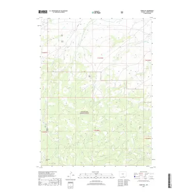
2017 Map of Sharp Hill
USGS Topo · Published 2017About this map
The Continental Divide defines the western heights of this landscape, marking the hydrological crest within the Medicine Bow National Forest. The map documents a complex drainage system where numerous creeks, such as Chippewa Cr and Cherokee Cr, descend from the high country. In the northern sections, unique terrain features like Snow Draw, Grove Draw, and Buck Draw suggest a landscape shaped by seasonal snowmelt and runoff patterns. Evidence of early water management is visible through the Jack Cr Ditch in the northern reaches, while the southeastern corner is anchored by the namesake Sharp Hill. This survey provides a clear view of the high-altitude forest boundaries and the natural transition between significant drainages such as Soap Cr and Beaver Cr.
Find a feature on this map
26 named features on this map. Tap any name to fly to it.
Don’t see what you’re looking for? This feature index may not catch every label — zoom into the map to look around manually.
Map Details
Editions of this 2017 Sharp Hill Map
This is the sole edition of this map. No revisions or reprints were ever made.
Other maps of this area

1932 · Savery
USGS Topo · 1:96,000

1939 · Saratoga
USGS Topo · 1:125,000

1940 · Savery
USGS Topo · 1:125,000

1954 · Rawlins
USGS Topo · 1:250,000

1958 · Rawlins
USGS Topo · 1:250,000

1961 · Red Mountain
USGS Topo · 1:24,000

1961 · Divide Peak
USGS Topo · 1:24,000

1961 · Middlewood Hill
USGS Topo · 1:24,000

1961 · Bridger Peak
USGS Topo · 1:24,000

1961 · Jack Creek Reservoir
USGS Topo · 1:24,000