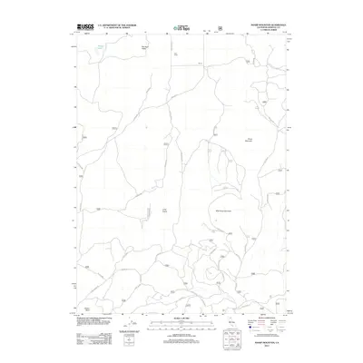
2012 Map of Sharp Mountain
USGS Topo · Published 2012About this map
Criss Ranch and the small settlement of Tecnor represent the human footprint in this corner of Siskiyou County, situated among high-elevation valleys and volcanic peaks. The landscape is defined by the transition from Red Rock Valley in the north to the wide expanse of Long Prairie in the south, where a network of Forest Service roads, such as Robison Rd and Long Prairie Rd, provides access for timber and ranching operations. The terrain rises sharply at Sharp Mountain and Wild Horse Mountain, while Russell Lake and Cedar Well provide critical water sources in an otherwise arid environment. This 2012 survey illustrates the modern management of these lands, where topographic features like Garner Butte anchor a complex system of fire roads and trails including Usfs 44 N 09 and 45n20y.
Find a feature on this map
54 named features on this map. Tap any name to fly to it.
Don’t see what you’re looking for? This feature index may not catch every label — zoom into the map to look around manually.
Map Details
Editions of this 2012 Sharp Mountain Map
This is the sole edition of this map. No revisions or reprints were ever made.
Other maps of this area

1886 · Modoc Lava Bed
USGS Topo · 1:250,000

1892 · Modoc Lava-Bed
USGS Topo · 1:250,000

1950 · Mt. Dome
USGS Topo · 1:62,500

1950 · Bray
USGS Topo · 1:62,500

1950 · Dorris
USGS Topo · 1:62,500

1952 · Medicine Lake
USGS Topo · 1:62,500

1954 · Alturas
USGS Topo · 1:250,000

1958 · Alturas
USGS Topo · 1:250,000

1962 · Alturas
USGS Topo · 1:250,000

1965 · Alturas
USGS Topo · 1:250,000