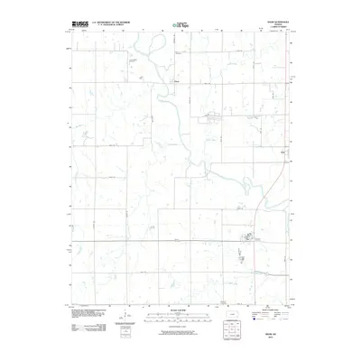
2010 Map of Shaw
USGS Topo · Published 2010About this map
The Neosho River meanders across this rural Kansas landscape, defining the agricultural character of Neosho County. The settlement of Shaw sits at a junction of regional roads, while the more substantial town of Erie occupies the eastern edge of the quadrangle. This 2010 survey highlights a distribution of burial grounds that mark the local history of the surrounding townships, including the South Valley Cemetery, Shaw Cemetery, and the Brethren Cemetery to the south. The drainage pattern is complex, with Canville Creek, Pecan Creek, and Rock Creek feeding into the Neosho valley. For genealogists and local historians, the map provides a precise record of the road network, from Marshall Rd to 90th Rd, linking these quiet rural communities and family-named cemeteries across the prairie terrain.
Find a feature on this map
31 named features on this map. Tap any name to fly to it.
Don’t see what you’re looking for? This feature index may not catch every label — zoom into the map to look around manually.
Map Details
Editions of this 2010 Shaw Map
This is the sole edition of this map. No revisions or reprints were ever made.
Other maps of this area

1886 · Iola
USGS Topo · 1:125,000

1886 · Parsons
USGS Topo · 1:125,000

1893 · Iola
USGS Topo · 1:125,000

1893 · Parsons
USGS Topo · 1:125,000

1904 · Iola
USGS Topo · 1:125,000

1943 · McCune
USGS Topo · 1:62,500

1945 · Mc Cune
USGS Topo · 1:62,500

1945 · Parsons
USGS Topo · 1:62,500

1946 · Parsons
USGS Topo · 1:62,500

1947 · Parsons
USGS Topo · 1:62,500