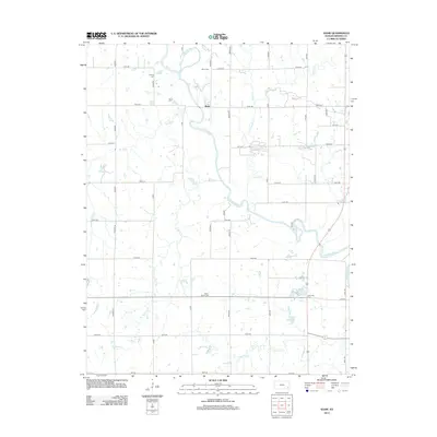
2012 Map of Shaw
USGS Topo · Published 2012About this map
The Neosho River meanders through this portion of Neosho County, shaping the landscape near the small settlement of Shaw. This 2012 survey illustrates a predominantly agricultural region defined by a grid of rural roads and the riparian corridors of several tributaries, including Canville Cr and the Elk River. For those researching family history in the area, the map precisely locates four distinct burial grounds: S Valley Cem in the north, Shaw Cem near the river bend, Grant - Brown Cem further south, and Lakeview Cem near the eastern boundary. The presence of these cemeteries alongside numerous rural homesteads provides a clear view of the long-standing land ownership patterns and community hubs in this Kansas river valley.
Find a feature on this map
39 named features on this map. Tap any name to fly to it.
Don’t see what you’re looking for? This feature index may not catch every label — zoom into the map to look around manually.
Map Details
Editions of this 2012 Shaw Map
This is the sole edition of this map. No revisions or reprints were ever made.
Other maps of this area

1886 · Iola
USGS Topo · 1:125,000

1886 · Parsons
USGS Topo · 1:125,000

1893 · Iola
USGS Topo · 1:125,000

1893 · Parsons
USGS Topo · 1:125,000

1904 · Iola
USGS Topo · 1:125,000

1943 · McCune
USGS Topo · 1:62,500

1945 · Mc Cune
USGS Topo · 1:62,500

1945 · Parsons
USGS Topo · 1:62,500

1946 · Parsons
USGS Topo · 1:62,500

1947 · Parsons
USGS Topo · 1:62,500