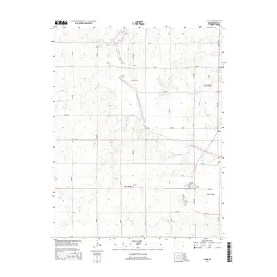
2015 Map of Shaw
USGS Topo · Published 2015About this map
The Neosho River winds through this section of Neosho County, shaping a landscape defined by its riparian corridors and a strict section-line road grid. The settlement of Shaw serves as a central point in this agricultural region, while the larger community of Erie occupies the eastern edge. Several small burial grounds, including South Valley Cem and Shaw Cem, are situated on higher ground overlooking the river's drainage basin, providing essential geographic markers for genealogical research in this part of Kansas.
Find a feature on this map
38 named features on this map. Tap any name to fly to it.
Don’t see what you’re looking for? This feature index may not catch every label — zoom into the map to look around manually.
Map Details
Editions of this 2015 Shaw Map
This is the sole edition of this map. No revisions or reprints were ever made.
Other maps of this area

1886 · Iola
USGS Topo · 1:125,000

1886 · Parsons
USGS Topo · 1:125,000

1893 · Iola
USGS Topo · 1:125,000

1893 · Parsons
USGS Topo · 1:125,000

1904 · Iola
USGS Topo · 1:125,000

1943 · McCune
USGS Topo · 1:62,500

1945 · Mc Cune
USGS Topo · 1:62,500

1945 · Parsons
USGS Topo · 1:62,500

1946 · Parsons
USGS Topo · 1:62,500

1947 · Parsons
USGS Topo · 1:62,500