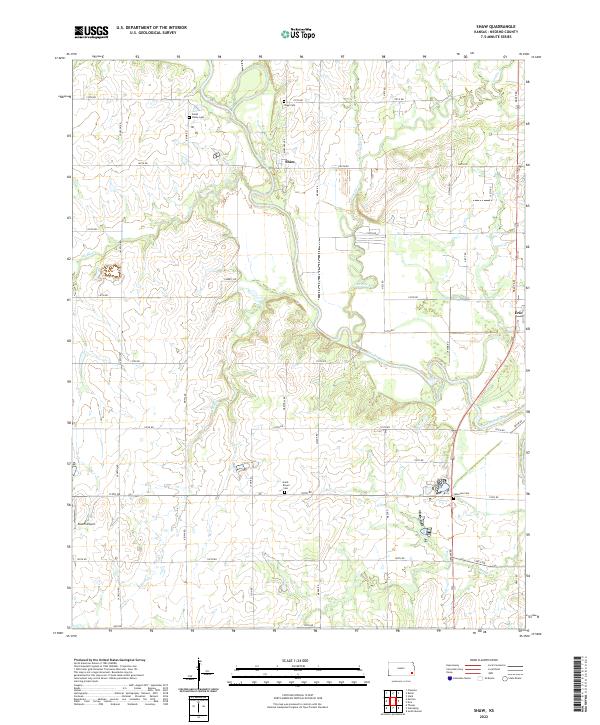
2022 Map of Shaw
USGS Topo · Published 2022About this map
The Neosho River meanders across this Neosho County landscape, joined by numerous tributaries including Elk River, Canville Cr, and Ogeese Cr. The settlement of Shaw serves as a central landmark, situated near the Shaw Cem and the river's winding path. This 2022 survey documents a rural environment organized by a dense grid of township roads, such as Jackson Rd and Meade Rd, which provide access to family-named cemeteries and agricultural plots.
Find a feature on this map
40 named features on this map. Tap any name to fly to it.
Don’t see what you’re looking for? This feature index may not catch every label — zoom into the map to look around manually.
Map Details
Editions of this 2022 Shaw Map
This is the sole edition of this map. No revisions or reprints were ever made.
Other maps of this area

1886 · Iola
USGS Topo · 1:125,000

1886 · Parsons
USGS Topo · 1:125,000

1893 · Iola
USGS Topo · 1:125,000

1893 · Parsons
USGS Topo · 1:125,000

1904 · Iola
USGS Topo · 1:125,000

1943 · McCune
USGS Topo · 1:62,500

1945 · Mc Cune
USGS Topo · 1:62,500

1945 · Parsons
USGS Topo · 1:62,500

1946 · Parsons
USGS Topo · 1:62,500

1947 · Parsons
USGS Topo · 1:62,500