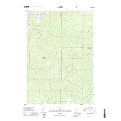
2018 Map of Shay Lake
USGS Topo · Published 2018About this map
Nicolet National Forest dominates this landscape on the border of Oconto and Marinette counties, where a dense network of forest roads and trails reveals the managed nature of these Wisconsin Northwoods. The terrain is defined by a series of kettle lakes and sprawling wetlands, including Shay Lake, Turtle Lake, and Nelligan Lake. A prominent geological landmark, Butler Rock, rises near the center of the sheet, surrounded by access routes like Butler Rock Rd and W Butler Rock Rd.
Find a feature on this map
45 named features on this map. Tap any name to fly to it.
Don’t see what you’re looking for? This feature index may not catch every label — zoom into the map to look around manually.
Map Details
Editions of this 2018 Shay Lake Map
This is the sole edition of this map. No revisions or reprints were ever made.
Other maps of this area

1940 · Thunder Mtn.
USGS Topo · 1:48,000

1940 · Athelstane
USGS Topo · 1:48,000

1941 · Coleman
USGS Topo · 1:48,000

1942 · Athelstane
USGS Topo · 1:48,000

1942 · Coleman
USGS Topo · 1:48,000

1942 · Breed
USGS Topo · 1:48,000

1950 · Coleman
USGS Topo · 1:48,000

1951 · Thunder Mountain
USGS Topo · 1:48,000

1952 · Mountain
USGS Topo · 1:48,000

1954 · Iron Mountain
USGS Topo · 1:250,000