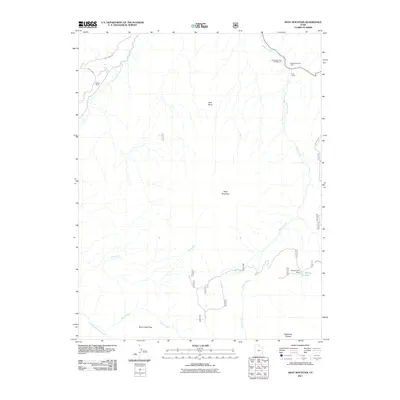
2011 Map of Shay Mountain
USGS Topo · Published 2011About this map
Shay Mountain and the expansive Shay Mesa dominate this high-elevation landscape in San Juan County. This 2011 survey illustrates a region defined by dramatic terrain and isolated outposts of human activity. Settled points like Wilson Ranch and Kelly Ranch anchor the remote drainage systems of North Cottonwood Creek and Indian Creek. The map documents critical infrastructure in this arid environment, such as the Spring Lake Dam and the high-altitude Robertson Pasture. Cultural and geological markers include the Newspaper Rock Campground and Newspaper Rock Tower, alongside the natural shelf of Blue Creek Point. The network of trails and tracks, including Beef Basin Rd and Harts Draw Rd, provides the primary access through the surrounding Beef Basin.
Find a feature on this map
18 named features on this map. Tap any name to fly to it.
Don’t see what you’re looking for? This feature index may not catch every label — zoom into the map to look around manually.
Map Details
Editions of this 2011 Shay Mountain Map
This is the sole edition of this map. No revisions or reprints were ever made.
Other maps of this area

1885 · La Sal
USGS Topo · 1:250,000

1886 · Abajo
USGS Topo · 1:250,000

1892 · Abajo
USGS Topo · 1:250,000

1893 · Abajo
USGS Topo · 1:250,000

1935 · Elk Ridge
USGS Topo · 1:96,000

1940 · Elk Ridge
USGS Topo · 1:125,000

1954 · Elk Ridge 1 SW
USGS Topo · 1:24,000

1954 · Elk Ridge 1 NW
USGS Topo · 1:24,000

1954 · Elk Ridge 1 NE
USGS Topo · 1:24,000

1954 · Carlisle 4 SW
USGS Topo · 1:24,000