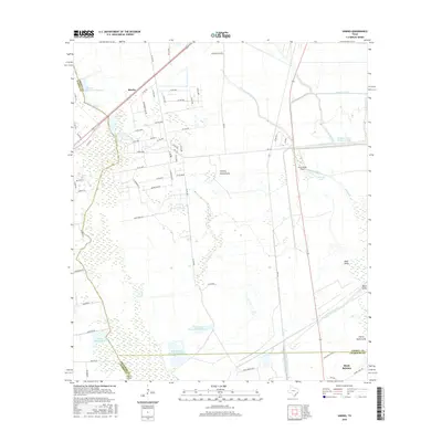
2016 Map of Sheeks
USGS Topo · Published 2016About this map
The low-lying coastal plains of Southeast Texas define this landscape at the intersection of Harris, Liberty, and Chambers counties. Significant water management infrastructure dominates the terrain, evidenced by the massive J M Frost III Reservoir Number 3, W Scott Frost Reservoir Number 1, and J M Frost Reservoir Number 2. These reservoirs, alongside the Lynchburg Canal and Dayton Canal, illustrate a highly engineered hydrological system designed to support the region's agricultural and industrial needs.
Find a feature on this map
77 named features on this map. Tap any name to fly to it.
Don’t see what you’re looking for? This feature index may not catch every label — zoom into the map to look around manually.
Map Details
Editions of this 2016 Sheeks Map
This is the sole edition of this map. No revisions or reprints were ever made.
Other maps of this area

1916 · Burnett Bay
USGS Topo · 1:24,000

1916 · Crosby
USGS Topo · 1:24,000

1916 · Cedar Bayou
USGS Topo · 1:24,000

1916 · Huffman
USGS Topo · 1:24,000

1919 · Crosby
USGS Topo · 1:31,680

1919 · Cedar Bayou
USGS Topo · 1:31,680

1920 · Highlands
USGS Topo · 1:31,680

1920 · Huffman
USGS Topo · 1:31,680

1943 · Liberty
USGS Topo · 1:125,000

1943 · Cedar Bayou
USGS Topo · 1:24,000