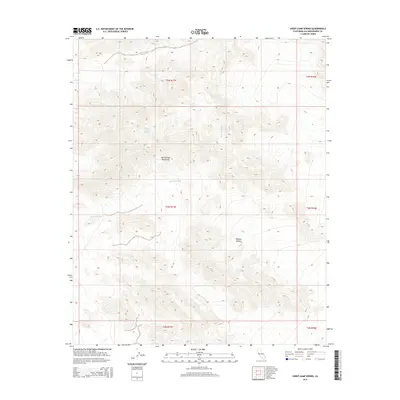
2015 Map of Sheep Camp Spring
USGS Topo · Published 2015About this map
The Old Woman Mountains dominate this arid landscape within the Mojave Desert of San Bernardino County. This section of the range is defined by complex topography where drainage patterns converge toward Browns Wash, a major ephemeral watercourse that winds through the central and southern portions of the sheet. The presence of Sheep Camp Spring in the northern reaches highlights a rare reliable water source in an otherwise parched environment, a feature traditionally critical for survival and transit in this part of California. Surveyed for the Public Land Survey System, the map details the boundaries of townships T5N, T4N, and T3N, illustrating how the rugged mountain terrain intersects with the bureaucratic grid of the desert floor.
Find a feature on this map
10 named features on this map. Tap any name to fly to it.
Don’t see what you’re looking for? This feature index may not catch every label — zoom into the map to look around manually.
Map Details
Editions of this 2015 Sheep Camp Spring Map
This is the sole edition of this map. No revisions or reprints were ever made.
Other maps of this area

1942 · Amboy
USGS Topo · 1:250,000

1943 · Amboy
USGS Topo · 1:250,000

1943 · Essex
USGS Topo · 1:62,500

1943 · Danby
USGS Topo · 1:62,500

1943 · Cadiz Lake
USGS Topo · 1:62,500

1954 · Needles
USGS Topo · 1:250,000

1956 · Needles
USGS Topo · 1:250,000

1956 · Milligan
USGS Topo · 1:62,500

1956 · Essex
USGS Topo · 1:62,500

1956 · Cadiz Lake
USGS Topo · 1:62,500