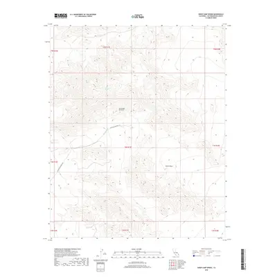
2018 Map of Sheep Camp Spring
USGS Topo · Published 2018About this map
The Old Woman Mountains dominate this high-desert landscape in San Bernardino County, rising sharply above the surrounding Mojave Desert. This terrain is defined by its arid drainage patterns and sparse water sources, most notably Sheep Camp Spring, which historically served as a critical waypoint in this dry environment. The topography shows the complex ridges and canyons that characterize this range, where elevation changes are reflected in the dense contour lines of the central peaks.
Find a feature on this map
14 named features on this map. Tap any name to fly to it.
Don’t see what you’re looking for? This feature index may not catch every label — zoom into the map to look around manually.
Map Details
Editions of this 2018 Sheep Camp Spring Map
This is the sole edition of this map. No revisions or reprints were ever made.
Other maps of this area

1942 · Amboy
USGS Topo · 1:250,000

1943 · Amboy
USGS Topo · 1:250,000

1943 · Essex
USGS Topo · 1:62,500

1943 · Danby
USGS Topo · 1:62,500

1943 · Cadiz Lake
USGS Topo · 1:62,500

1954 · Needles
USGS Topo · 1:250,000

1956 · Needles
USGS Topo · 1:250,000

1956 · Milligan
USGS Topo · 1:62,500

1956 · Essex
USGS Topo · 1:62,500

1956 · Cadiz Lake
USGS Topo · 1:62,500