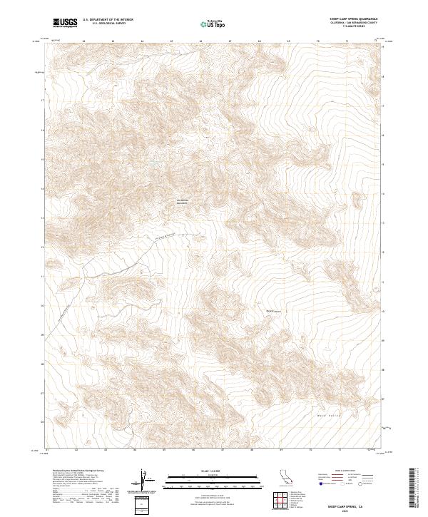
2021 Map of Sheep Camp Spring
USGS Topo · Published 2021About this map
Sheep Camp Spring serves as a vital water point in this arid stretch of the eastern Mojave Desert. The landscape is dominated by the steep elevations of the Old Woman Mountains, which give way to the broad, open expanse of Ward Valley to the southeast. A single significant desert track, Old Woman Meteorite Rd, cuts through the western portion of the mountains, hinting at the area's geological significance and history of scientific exploration. The map provides a precise look at the township and range grid system across this remote corner of San Bernardino County, documenting the topographic relief of the mountain range and the surrounding alluvial basins during the early twenty-first century.
Find a feature on this map
14 named features on this map. Tap any name to fly to it.
Don’t see what you’re looking for? This feature index may not catch every label — zoom into the map to look around manually.
Map Details
Editions of this 2021 Sheep Camp Spring Map
This is the sole edition of this map. No revisions or reprints were ever made.
Other maps of this area

1942 · Amboy
USGS Topo · 1:250,000

1943 · Amboy
USGS Topo · 1:250,000

1943 · Essex
USGS Topo · 1:62,500

1943 · Danby
USGS Topo · 1:62,500

1943 · Cadiz Lake
USGS Topo · 1:62,500

1954 · Needles
USGS Topo · 1:250,000

1956 · Needles
USGS Topo · 1:250,000

1956 · Milligan
USGS Topo · 1:62,500

1956 · Essex
USGS Topo · 1:62,500

1956 · Cadiz Lake
USGS Topo · 1:62,500