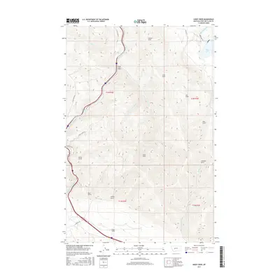
2017 Map of Sheep Creek
USGS Topo · Published 2017About this map
Hilger Valley and the steep drainages of the Big Belt Mountains define this section of Lewis and Clark County. In this 2017 survey, the Missouri River and the southern reaches of Holter Lake dominate the northeastern corner, where the Holter Dam Rd provides access to the water. The landscape is characterized by deeply etched ravines, including Bear Gulch, Rose Gulch, and Towhead Gulch, which channel seasonal runoff toward the larger watercourses.
Find a feature on this map
28 named features on this map. Tap any name to fly to it.
Don’t see what you’re looking for? This feature index may not catch every label — zoom into the map to look around manually.
Map Details
Editions of this 2017 Sheep Creek Map
This is the sole edition of this map. No revisions or reprints were ever made.
Other maps of this area

1886 · Great Falls
USGS Topo · 1:250,000

1886 · Fort Logan
USGS Topo · 1:250,000

1889 · Helena
USGS Topo · 1:250,000

1893 · Helena
USGS Topo · 1:250,000

1899 · Helena
USGS Topo · 1:250,000

1903 · Helena
USGS Topo · 1:250,000

1943 · Hogan
USGS Topo · 1:125,000

1947 · Butte
USGS Topo · 1:250,000

1948 · White Sulphur Springs
USGS Topo · 1:250,000

1954 · Great Falls
USGS Topo · 1:250,000