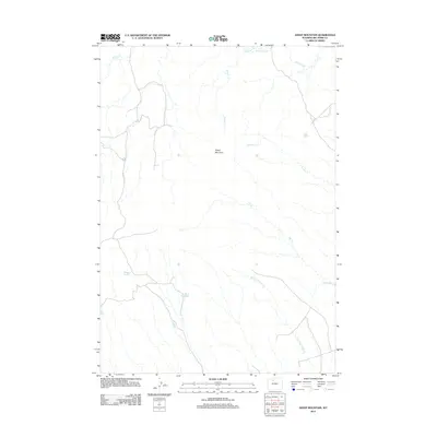
2012 Map of Sheep Mountain
USGS Topo · Published 2012About this map
Sheep Mountain dominates this portion of the Big Horn Basin, where the high desert terrain is defined by a complex network of seasonal drainages and early 21st-century water management. The arid landscape is etched by numerous watercourses including Elk Cr, Dry Cottonwood Cr, and Rock-Waterhole Cr, which flow toward the lower elevations of the basin.
Find a feature on this map
10 named features on this map. Tap any name to fly to it.
Don’t see what you’re looking for? This feature index may not catch every label — zoom into the map to look around manually.
Map Details
Editions of this 2012 Sheep Mountain Map
This is the sole edition of this map. No revisions or reprints were ever made.
Other maps of this area

1951 · Burlington
USGS Topo · 1:24,000

1951 · Sucker Dam
USGS Topo · 1:24,000

1951 · Y U Bench NE
USGS Topo · 1:24,000

1951 · Sheep Mountain
USGS Topo · 1:24,000

1951 · Tatman Mountain
USGS Topo · 1:24,000

1951 · Wardel Reservoir
USGS Topo · 1:24,000

1951 · Otto
USGS Topo · 1:24,000

1951 · Dead Indian Hill
USGS Topo · 1:24,000

1951 · Dutch Nick Flat NW
USGS Topo · 1:24,000

1955 · Cody
USGS Topo · 1:250,000