
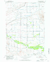
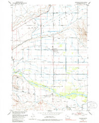
1951 Map of Burlington
USGS Topo · Published 1952About this map
Burlington serves as the central hub for this Big Horn Basin landscape, which is defined by an intricate network of early irrigation infrastructure. The settlement is surrounded by a lattice of waterways, including the Town Ditch and the Beck and Allen Lateral, which divert water from the Greybull River to the dry flats of Emblem Bench. This 1951 survey captures a moment when local agriculture was deeply integrated with the Missouri River Basin development program, as seen in the numerous named channels like the Farmers Ditch and Tatman Canal. Family-linked landmarks such as the Emblem Cemetery and Burlington Cemetery reflect the established rural community, while the Avent School stands as a focal point for the district's outlying ranching families. To the south, the terrain rises toward Table Mtn, marking the transition from the irrigated river valley to the higher, arid plateaus of northern Wyoming.
Find a feature on this map
28 named features on this map. Tap any name to fly to it.
Don’t see what you’re looking for? This feature index may not catch every label — zoom into the map to look around manually.
Map Details
Editions of this 1951 Burlington Map
3 editions found
Other maps of this area

1951 · Y U Bench NE
USGS Topo · 1:24,000

1951 · Sheep Mountain
USGS Topo · 1:24,000

1951 · Tatman Mountain
USGS Topo · 1:24,000

1951 · Wardel Reservoir
USGS Topo · 1:24,000

1951 · Otto
USGS Topo · 1:24,000

1955 · Cody
USGS Topo · 1:250,000

1958 · Cody
USGS Topo · 1:250,000

1962 · Cody
USGS Topo · 1:250,000

1966 · Gilmore Hill SE
USGS Topo · 1:24,000

1966 · Emblem SE
USGS Topo · 1:24,000