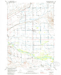
1951 Map of Burlington
USGS Topo · Published 1986About this map
Burlington serves as the central hub of this agricultural landscape in Big Horn County, situated just north of the Greybull River. The 1951 survey reveals a complex network of irrigation that transformed the high plains, including the Farmers Canal, Bench Canal, and Pearce Ditch. This infrastructure supports life across the Emblem Bench, a prominent plateau punctuated by Table Mtn. Local family history is rooted in rural institutions like the Avent School and the Emblem Cemetery. The map documents the Missouri River Basin development era, showing how water management through features like the St Joe Canal and Bahr Ditch defined the settlement patterns of this Wyoming river valley. From the winding course of Willow Creek to the town grid of Burlington, the sheet provides a precise record of post-war land use and rural infrastructure.
Find a feature on this map
23 named features on this map. Tap any name to fly to it.
Don’t see what you’re looking for? This feature index may not catch every label — zoom into the map to look around manually.
Map Details
Editions of this 1951 Burlington Map
3 editions found
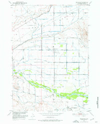
Other maps of this area

1951 · Burlington
USGS Topo · 1:24,000

1951 · Y U Bench NE
USGS Topo · 1:24,000

1951 · Sheep Mountain
USGS Topo · 1:24,000

1951 · Tatman Mountain
USGS Topo · 1:24,000

1951 · Wardel Reservoir
USGS Topo · 1:24,000

1951 · Otto
USGS Topo · 1:24,000

1955 · Cody
USGS Topo · 1:250,000

1958 · Cody
USGS Topo · 1:250,000

1962 · Cody
USGS Topo · 1:250,000

1966 · Gilmore Hill SE
USGS Topo · 1:24,000